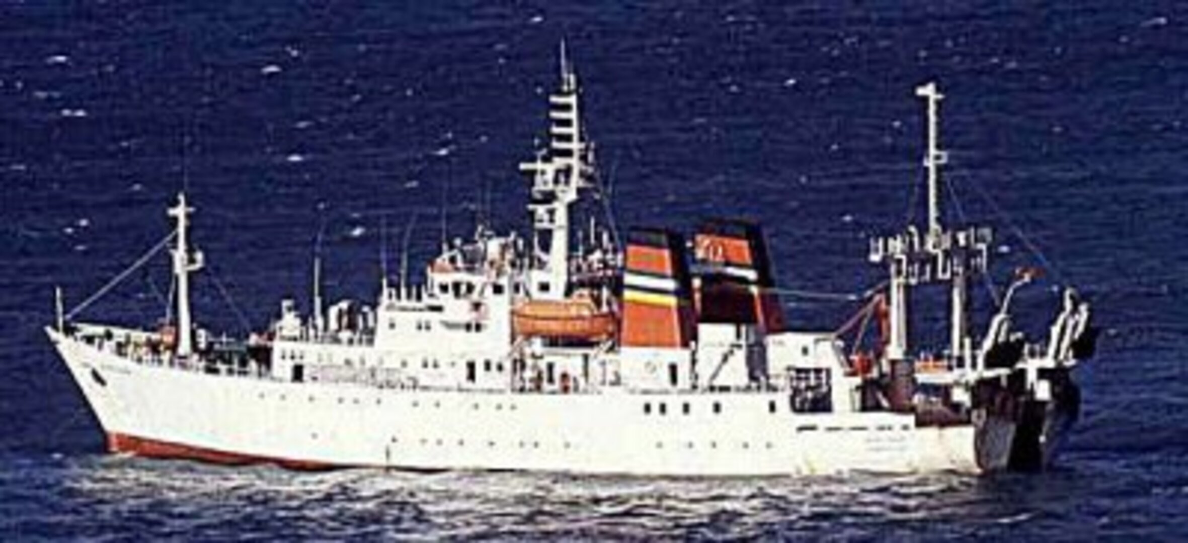
Optimising shipping routes
Shipping by sea is the most energy efficient means of transportation: eight times more efficient than rail travel and 26 times more efficient than going by road. However the sea is also an unpredictable and sometimes violent realm: an average of three ships displacing more than 500 tonnes are sunk every week.
Increasing shipping by reducing uncertainty
Already nine tenths of bulk global trade is transported by sea and there remains plenty of opportunity for expansion. Decreasing the uncertainty associated with ocean-going transport is likely to encourage its further take-up.
Accurate and timely characterisations of global sea state, weather conditions and currents enable the optimisation of shipping routes away from rough seas and storms. The consistent wide-area and continuous views provided by satellite instruments combined with in-situ data sources enable detailed mapping of the ever-changing face of the ocean.
Detecting sea surface conditions
Radar instruments of the type flown on ESA's ERS and Envisat spacecraft are sensitive to sea surface roughness as well as wave height and wind speed. The scatterometer on ERS-2 and a more advanced version on ESA's MetOp can detect wind direction as well as wind speed along the level of the sea surface.
Assimilated into meteorological models in near-real time, this satellite data can improve the accuracy of marine weather forecasts, increasing the safety and reliability of marine transport.
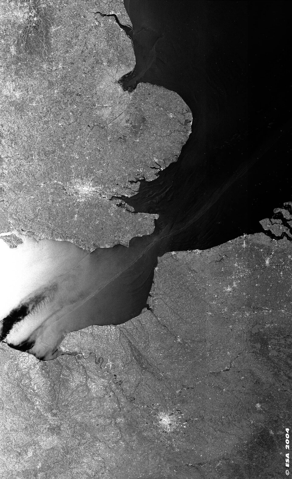
Another type of radar instrument called a Radar Altimeter sends 2000 radar pulses to Earth every second, measuring the time they take to bounce back to the radar antenna. This enables the measurement of sea height to an accuracy of around three centimetres, enabling the identification of ocean currents that typically exhibit height anomalies: several tens of centimetres in the case of the Gulf Stream.
Planning journeys
Currently operational services supply near-real time information products based on such Earth observation data.
The Wave Climate service offered by Netherlands-based ARGOSS is an online journey-planning tool providing ship operators with information on weather factors, the likelihood of meeting high wind and wave conditions and recommended routing options.
'Maritime motorways'
Within Europe the utilisation of short shipping routes and fast ferries is projected to increase – a development termed 'maritime motorways'. However many of the vessels to be employed along such routes are considerably more sensitive to local wind and wave conditions than older long-haul shipping, generating a requirement for more accurate high accuracy sea state and weather forecasting that Earth observation can help fulfil.