Altimetry missions
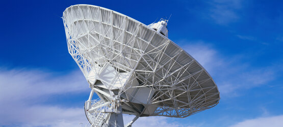
Radar altimeters are active sensors that use the ranging capability of radar to measure the surface topography profile along the satellite track. They provide precise measurements of a satellite's height above the ocean by measuring the time interval between the transmission and reception of very short electromagnetic pulses.
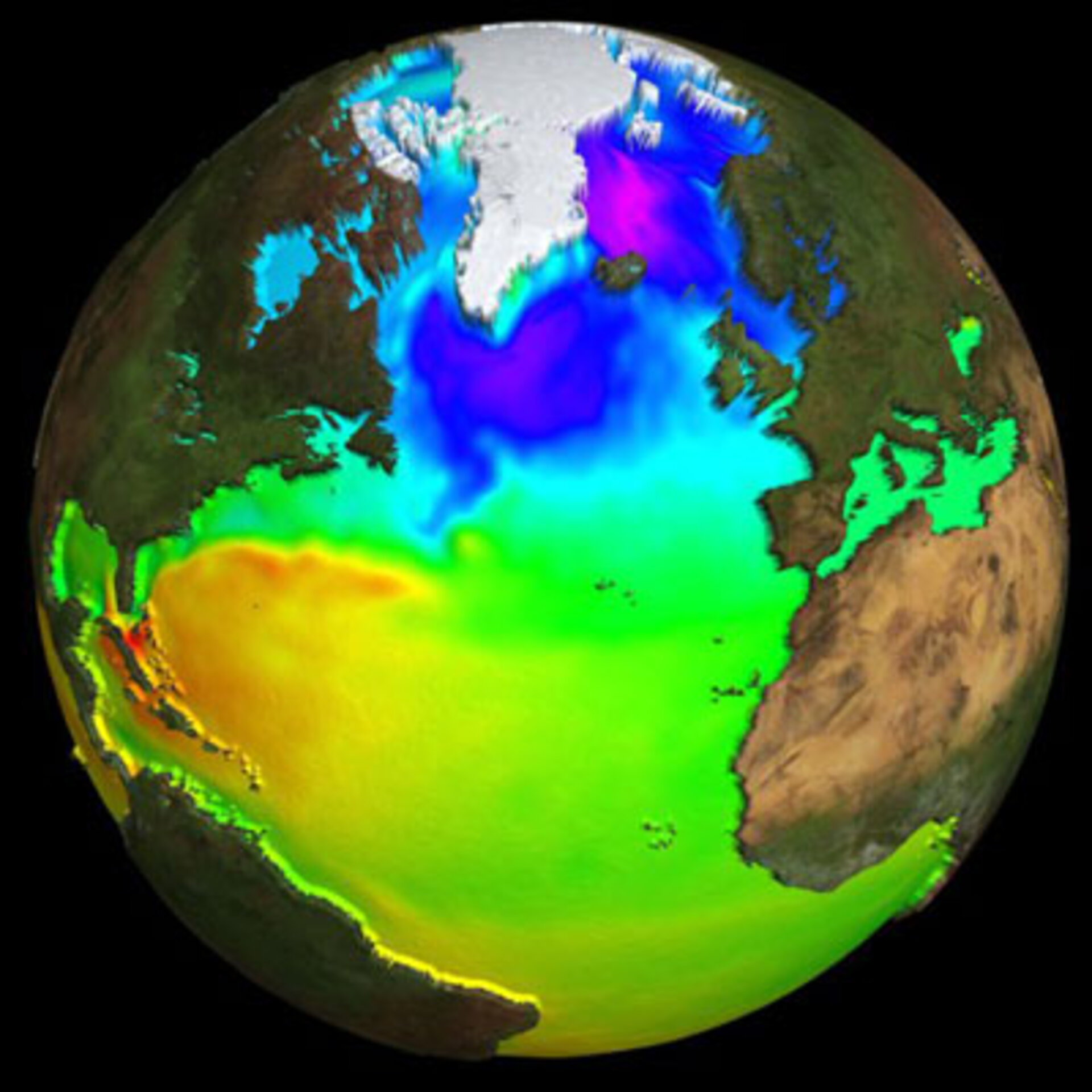
A variety of parameters may be inferred using the information from radar altimeter measurements, such as time-varying sea-surface height (ocean topography), the lateral extent of sea ice and altitude of large icebergs above sea level, as well as the topography of land and ice sheets, and even that of the sea floor. Satellite altimetry also provides information for mapping sea-surface wind speeds and significant wave heights.
The Copernicus Contributing Missions carry altimeters that complement the altimetry instrument on Sentinel-3.


