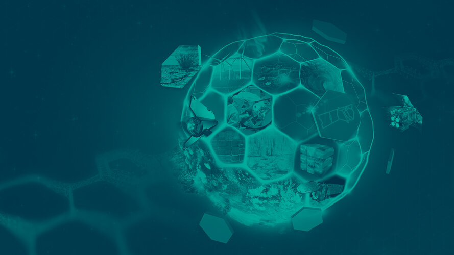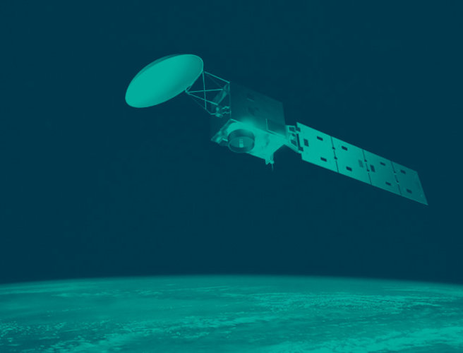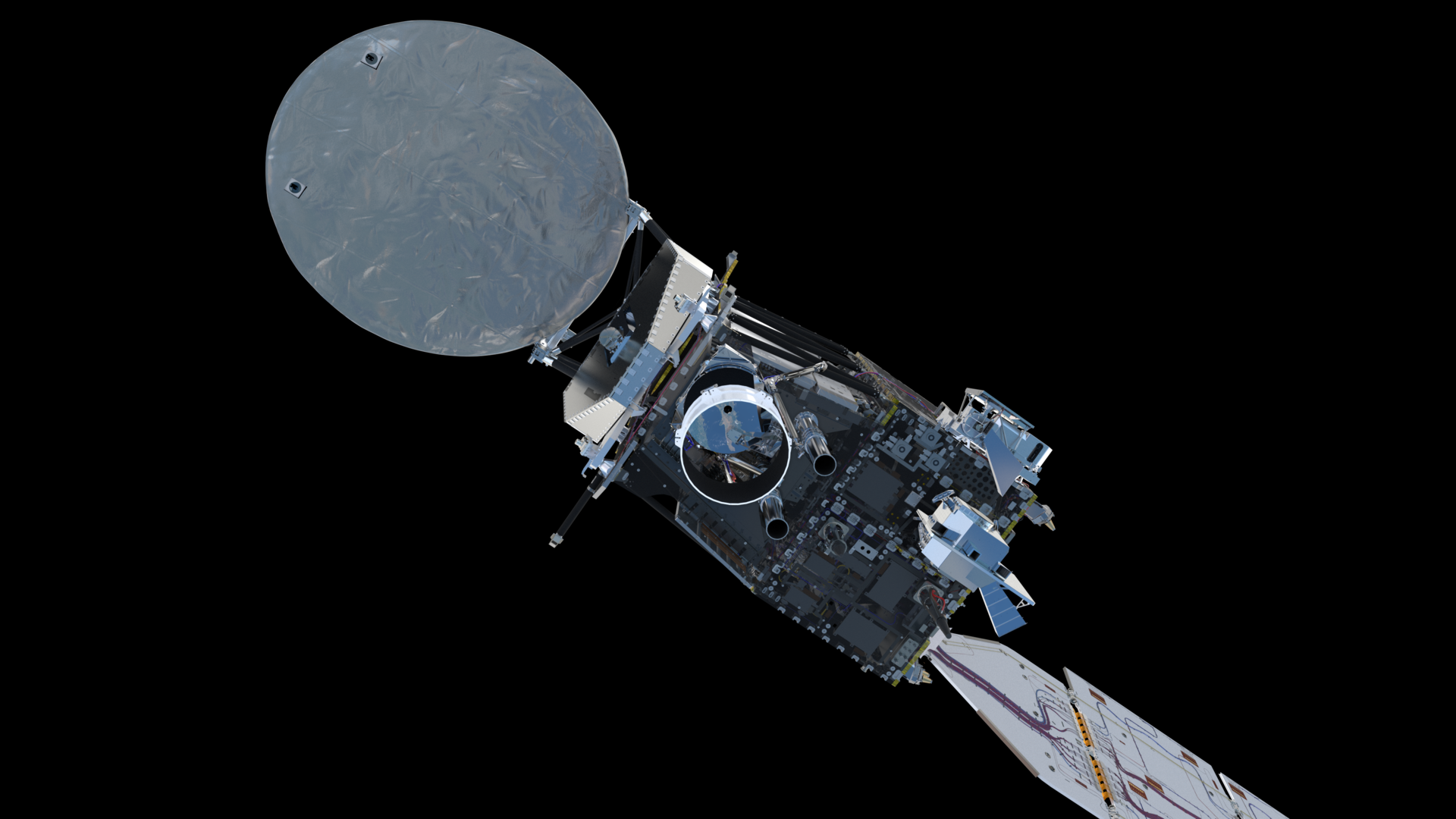
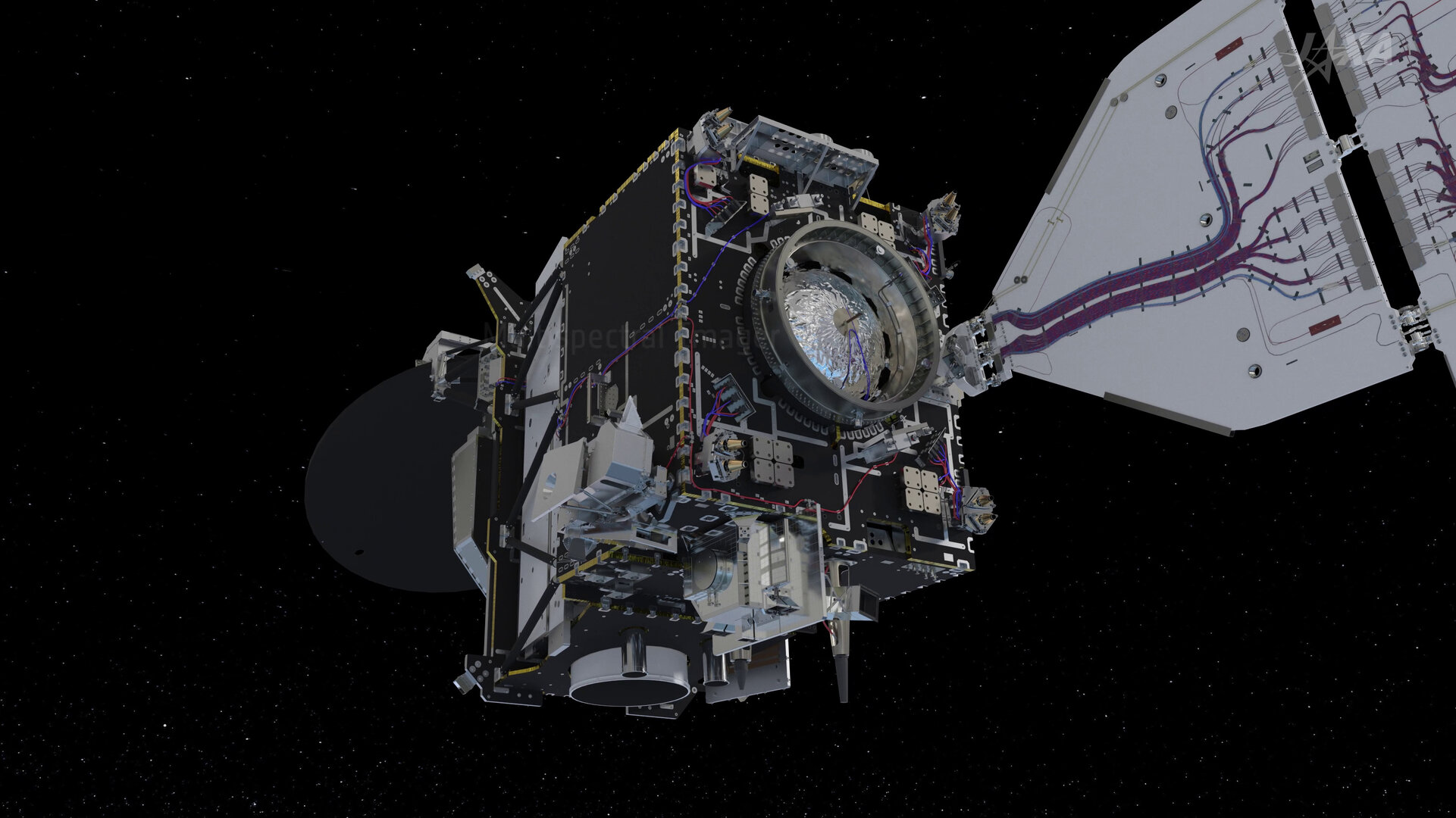
EarthCARE instrument package
Equipped with four state-of-the-art instruments, EarthCARE makes a range of different measurements that together provide unique insights into the complex interactions between clouds, aerosols and radiation.

Access the video
Atmospheric lidar
The atmospheric lidar is an advanced lidar (light detection and ranging) system designed to measure the vertical profile of aerosols and clouds in Earth’s atmosphere along the EarthCARE track. By emitting light pulses and analysing the reflected signals, this unique lidar can precisely provide the distribution and properties of aerosols and clouds, including their altitude, thickness and detailed optical properties and aerosol type. This information is crucial for improving climate models and understanding the role of aerosols and clouds in Earth’s energy balance.
More detail on EarthCARE's atmospheric lidar
Cloud profiling radar
Provided by the be Japan Aerospace Exploration Agency (JAXA), the cloud profiling radar is a key instrument that enables EarthCARE to observe the internal structure of clouds. Operating in the millimetre-wavelength range, the cloud profiling radar penetrates through clouds and light precipitation – providing detailed insights into their vertical structure and velocity, particle size distribution and water content. This radar is essential for studying cloud processes, such as the formation and dissipation of clouds, and contributes valuable data for improving weather and climate models.
More detail on EarthCARE's cloud profiling radar
Multispectral imager
While the lidar and radar provide profiles of the atmosphere in a rather thin curtain directly underneath the satellite, EarthCARE’s multispectral imager provides a much wider field of view to give context to the profile measurements.
The multispectral imager captures high-resolution images in multiple spectral bands in the visible and infrared spectrum, which will allow scientists to differentiate between various types of clouds, aerosols and Earth’s surface.
The imager provides additional information about the optical properties of clouds and aerosols, aiding in the characterisation of their composition and distribution. In addition, it allows for the generation of a three-dimensional cloud and aerosol field using the atmospheric lidar and cloud profiling radar data. These data are crucial for understanding the radiative impact of clouds and aerosols on Earth’s climate system.
More detail on EarthCARE's multispectral imager
Broadband radiometer
The broadband radiometer plays a crucial role in the mission by measuring the radiative fluxes at the top of Earth's atmosphere. As the satellite travels along its orbit, the radiometer views the atmosphere from three directions, allowing it to accurately quantify the amount of reflected solar radiation and the outgoing thermal radiation emitted by Earth.
This is known as the planet's energy balance. Comparing this to the radiation calculated from the combined observations of the other instruments helps scientists to improve our understanding of the aerosol-cloud-radiation interaction.
More detail on EarthCARE's broadband radiometer
Together, these four instruments form a powerful suite of tools that provide unprecedented observations of Earth's atmosphere. The data generated by EarthCARE's instruments contribute significantly to advancing our knowledge of climate processes and will unravel the intricate interactions between clouds, aerosols and radiation in Earth's atmosphere.