Earth Explorers: from science to applications
Earth observation satellites may be developed to advance the scientific understanding of our changing planet and climate change, or they may be developed to deliver a sustained, uninterrupted flow of ‘operational’ data for practical applications that are used to benefit daily life. However, measuring different aspects of Earth for science and monitoring for practical operational purposes are inextricably linked, and both are needed.
Data from satellite missions conceived for research purposes often lead to practical applications, and data from missions that are built for operational services are inevitably used to advance science. As a result of the growing need for new types of observations, the distinction between research and operational satellites has become blurred.
A look back in time
Historically, ESA’s Earth Observation Programmes were born under the stimulus of operational monitoring needs. In 1977, ESA launched its first Earth observation satellite, Meteosat, the first of a series of geostationary satellites designed to meet the needs of weather forecasting services. Even so, Meteosat also included research-driven technology, such as an additional instrument channel to track the motion of moisture in the air.
Thanks to the success of the first Meteosat satellites, in 1986 a new organisation was created – the European Organisation for the Exploitation of Meteorological Satellites, Eumetsat. And now, after the intermediate success of the Meteosat Second Generation missions, ESA is developing a series of Meteosat Third Generation satellites, which not only benefit the meteorological sector, but also climate science and research which enables more accurate weather predictions.
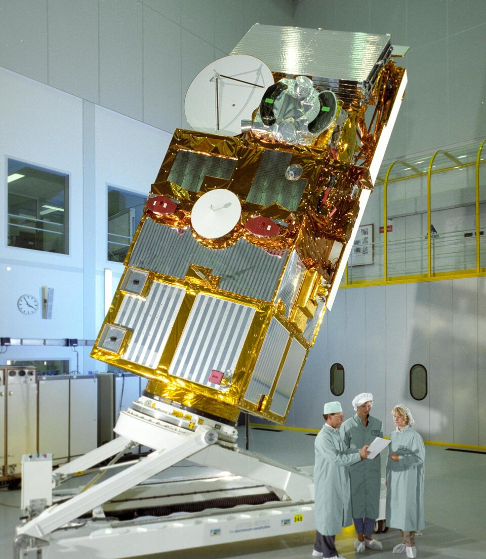
In the 1980s, ESA developed the polar-orbiting European Remote Sensing, ERS-1, satellite, which was launched in 1991 and followed by its sister satellite, ERS-2, in 1995.
At the time, these two satellites were the most sophisticated ever built. They stimulated a quantum leap in Earth observation, thanks to their advanced instruments and the wealth of data they delivered to understand our changing planet – data that are still used today.
The success of these pioneering missions added to the impetus to expand ESA’s Earth Observation Programmes along a two-pronged strategy; that being (i) to develop technically innovative missions for research to yield scientific excellence, and (ii) to develop missions for operational applications based on the needs of identified user communities and organisations ready to exploit series of long-term data.
In the mid-1990s, ESA created its Earth Observation Envelope Programme (EOEP) – it provided a framework for the systematic definition of all missions, for both research and for operational purposes.
Scientific excellence
Today, FutureEO – the successor to EOEP - is the cornerstone of ESA’s Earth Observation Programmes. This research and development programme not only harnesses novel ideas and concepts to forge pioneering satellite missions to advance science but, critically, also underpins the development of operational satellite missions dedicated to delivering robust systematic data for services that improve daily life and boost the economy.
The Earth Explorer research missions are pivotal to FutureEO. They are defined through a robust competitive process based on an Open Call to the Earth science community.
The process then typically comprises the selection of four proposed mission ideas for pre-Phase-0 studies. Following a down-selection, two concepts usually enter Phase-A preparation, and then ultimately one mission is selected for implementation. Each step – call, proposal and selection – is carried out jointly with the Earth science community and involves periodic user consultations to ensure rigour and build user engagement throughout the selection process.
From science to operations

This naturally leads to questions such as: Are the results worth all this effort? What about those missions that were not selected at these different stages, does all the work undertaken during the preparation phases remain useful?
The answer to these questions is a resounding yes, as some examples noted below clearly illustrate.
For a start, as well as being designed to advance science, the concepts that become fully-fledged Earth Explorer missions demonstrate new or improved observing techniques – an Earth Explorer requisite.
Earth Explorers provide sound heritage on which to develop operational missions that deliver systematic data for environmental services. Some of the current and future Copernicus Sentinel missions would simply not be possible without the technology and application opportunities demonstrated by the Explorers.
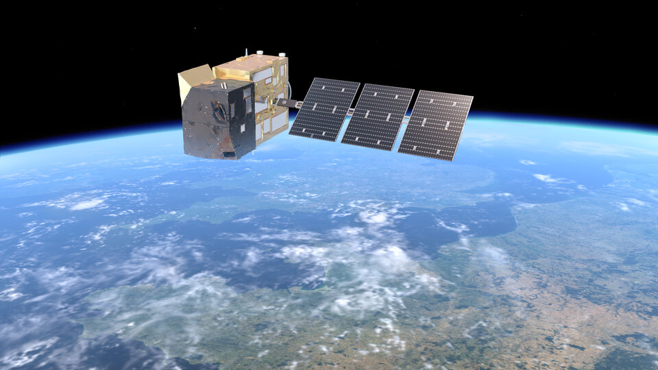
For instance, CryoSat proved the technique of interferometric altimetry enhanced with synthetic aperture radar processing and delivered much-improved measurements, not only for ice monitoring but also for ocean and inland water observations.
This potential had actually been recognised before CryoSat was launched and, indeed, ESA chose synthetic aperture radar altimetry for the Sentinel-3 mission in the European Union’s Copernicus programme for operational monitoring.
With CryoSat’s innovative technology firmly proven, focus turned to see how this could be used for a future Sentinel mission to monitor ice. To raise the design to a fully operational level, a second microwave frequency was added to the CryoSat-like altimeter and complemented by a microwave radiometer – leading to the Copernicus Polar Ice and Snow Topography Altimeter mission, CRISTAL.
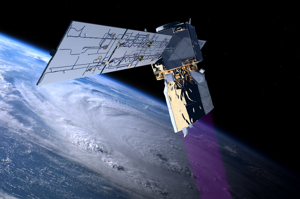
Another prominent example of an Earth Explorer laying the foundations for an operational mission is Aeolus.
Exceeding expectations, this remarkable research satellite not only clearly demonstrated that its pioneering Doppler wind lidar could deliver unique information on Earth’s winds, but its data were also used by major weather forecasting services worldwide. This success has led to ESA developing a follow-on operational mission, called Aeolus-2 comprising two satellites, for Eumetsat.
More examples could be cited, confirming that the demanding Earth Explorer selection process leads to identifying missions that not only demonstrate new observing techniques and advance science, but which can become precursors of operational missions.
What about non-selected Earth Explorer concepts?
Though an enormous amount of work goes into preparing a mission concept, unfortunately not all concepts can be implemented as Earth Explorers. Despite this, the work is not wasted because some non-selected concepts have resulted in the development of excellent new operational capabilities.
A crucial point here is that often the fact of not being selected is not because of a lack of scientific or technological value, but because the concept may not match ESA’s programmatic conditions at the time. Constraints such as budget availability may also be different in an operational programme context.
The preparatory work undertaken for candidate Explorer concepts, such as in-depth scientific and technical studies, hardware development and field experiments, is often crucial to their maturation as operational components in the Meteorological and Copernicus programmes.
In the meteorological context, an example is radio occultation, which is based on the refraction of GPS/Galileo signals by the atmosphere. This technique was proposed for the Atmospheric Profiling Mission Explorer concept and again for the Atmosphere and Climate Explorer concept – both of which were thoroughly prepared, but ultimately not selected for implementation.
The preparatory work, however, led to include the standard-setting Global Navigation Satellite System Receiver for Atmospheric Sounding (GRAS) instruments on the meteorological MetOp series of satellites, which will be continued with the radio occultation instruments on MetOp Second Generation.
Another example is the CloudIce Earth Explorer proposal, which prompted the development of the Ice Cloud Imager that will also be carried on the MetOp Second Generation satellites.
There are also numerous examples of Copernicus, the European Union’s Space programme, benefiting from non-selected Earth Explorer concepts.
For example, the Copernicus Sentinel-4 mission to monitor air quality is closely related to the Geostationary Scanning Imaging Absorption spectrometer (GEOSCIA) Earth Explorer proposal. The Sentinel-4 instrument will be carried on the geostationary Meteosat Third Generation Sounder satellites, therefore not only benefiting Copernicus but also the Eumetsat services. Sentinel-4 complements Sentinel-5, another imaging absorption spectrometer on the polar-orbiting MetOp Second Generation mission.
The Copernicus Carbon Dioxide Monitoring mission, CO2M, is very closely linked to the CarbonSat Earth Explorer candidate, whose studies clarified the capability of Carbon Dioxide and Methane point-source detection to monitor anthropogenic emissions.
Another example is the Copernicus Hyperspectral Imaging Mission for the Environment, CHIME, which is scientifically and technologically closely related to two Earth Explorer concepts: namely, the Land Surface Processes and Interactions Mission (LSPIM) and the Surface Processes and Ecosystem Changes Through Response Analysis (SPECTRA). Both Earth Explorer candidates underwent Phase-A studies but were not selected for implementation.
To sum up
The evolution of Earth observation satellites demonstrates a dynamic interplay between scientific exploration and practical operational applications.
The selection process for Earth Explorer missions ensures that even non-selected concepts can contribute to the development of operational capabilities. Furthermore, the synergy between ESA's Earth Observation Programmes and the Copernicus initiative illustrates how scientific research informs operational services, benefiting both environmental monitoring and societal needs.
In this dynamic landscape, the collaborative efforts between research communities, space agencies, and user organisations continue to propel innovation, ensuring that Earth observation satellites remain essential tools for decision-making to address the challenges of climate change, environmental monitoring, and sustainable development.