

Third Party Missions overview
ESA uses its multi-mission ground systems to acquire, process, distribute and archive data from other satellites – known as Third Party Missions. The data from these missions are distributed under specific agreements with the owners or operators of those missions, which can be either public or private entities outside or within Europe.
Details of the Third Party Missions currently supported by ESA:
ALOS Japan’s four-tonne Earth observation (EO) satellite, launched in 2006, was intended initially to operate for three years but the Japanese space agency (JAXA) has extended its mission until 2010 with preparations underway for an additional extension until 2013. ALOS carries a payload of three instruments: the Phased Array type L-band Synthetic Aperture Radar (PALSAR), a microwave radar instrument that can acquire observations during both day and night and through any weather conditions; the Panchromatic Remote-sensing Instrument of Stereo Mapping (PRISM) which can observe selected areas in three dimensions, down to a high 2.5-m spatial resolution; and the Advanced Visible and Near Infrared Radiometer type-2 (AVNIR-2), designed to chart land cover and vegetation in visible and near-infrared spectral bands.
DMC The Disaster Monitoring Constellation (DMC) is an international programme, led by the UK’s Surrey Satellite Technology Ltd (SSTL), to construct a network of five low-cost small satellites. The objective is to provide a daily global imaging capability at medium resolution (30–40 m), in 3–4 spectral bands, for rapid-response disaster monitoring and mitigation.
Formosat-2 Launched in 2004. Operated by Taiwan’s civilian space agency (NSPO), Formosat-2 is the first and only high-resolution satellite with a daily revisit capability. Its spatial resolution, 2 m in panchromatic (black and white) and 8 m in multispectral (colour), makes it suitable for many applications such as environmental monitoring, disaster management, land use, agriculture and forestry mapping.
Ikonos-2 Launched in 1999, Ikonos-2 is a commercial satellite that provides panchromatic and multispectral high-resolution imagery. It was the first EO satellite to collect publicly available imagery at 1- and 4-m resolutions. The GeoEye (formerly Space Imaging Inc., before the acquisition by Orbimage) satellite was built by Lockheed Martin Missiles & Space Division.
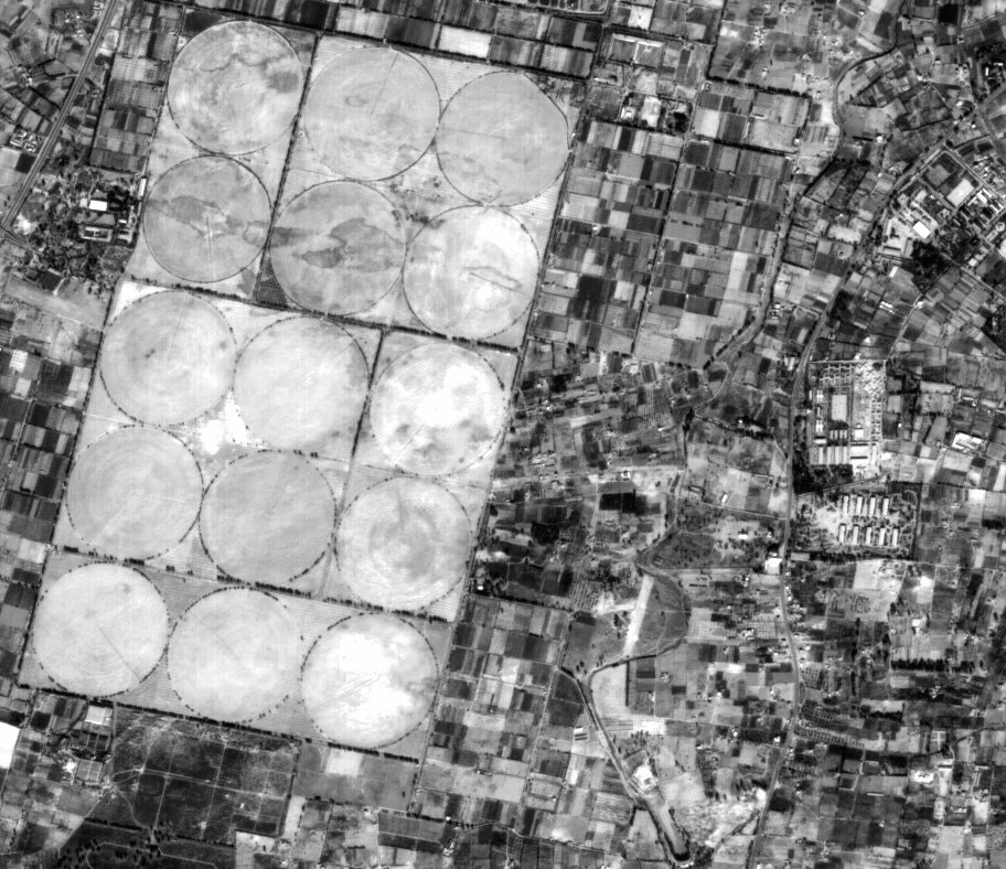
IRS-P6 Launched in 2003, the Indian Remote Sensing (IRS-P6) satellite, also known as Resourcesat-1, was built by the Indian space agency (ISRO). As the tenth satellite in the IRS series, it was built not only to continue the data services provided by its predecessors, but also to enhance the quality of the data. IRS-P6 carries three imaging sensors, Linear Imaging Self Scanner (LISS) 3 and 4 and an advanced Wide Field Scanner (AWiFS), with vastly improved spatial resolutions.
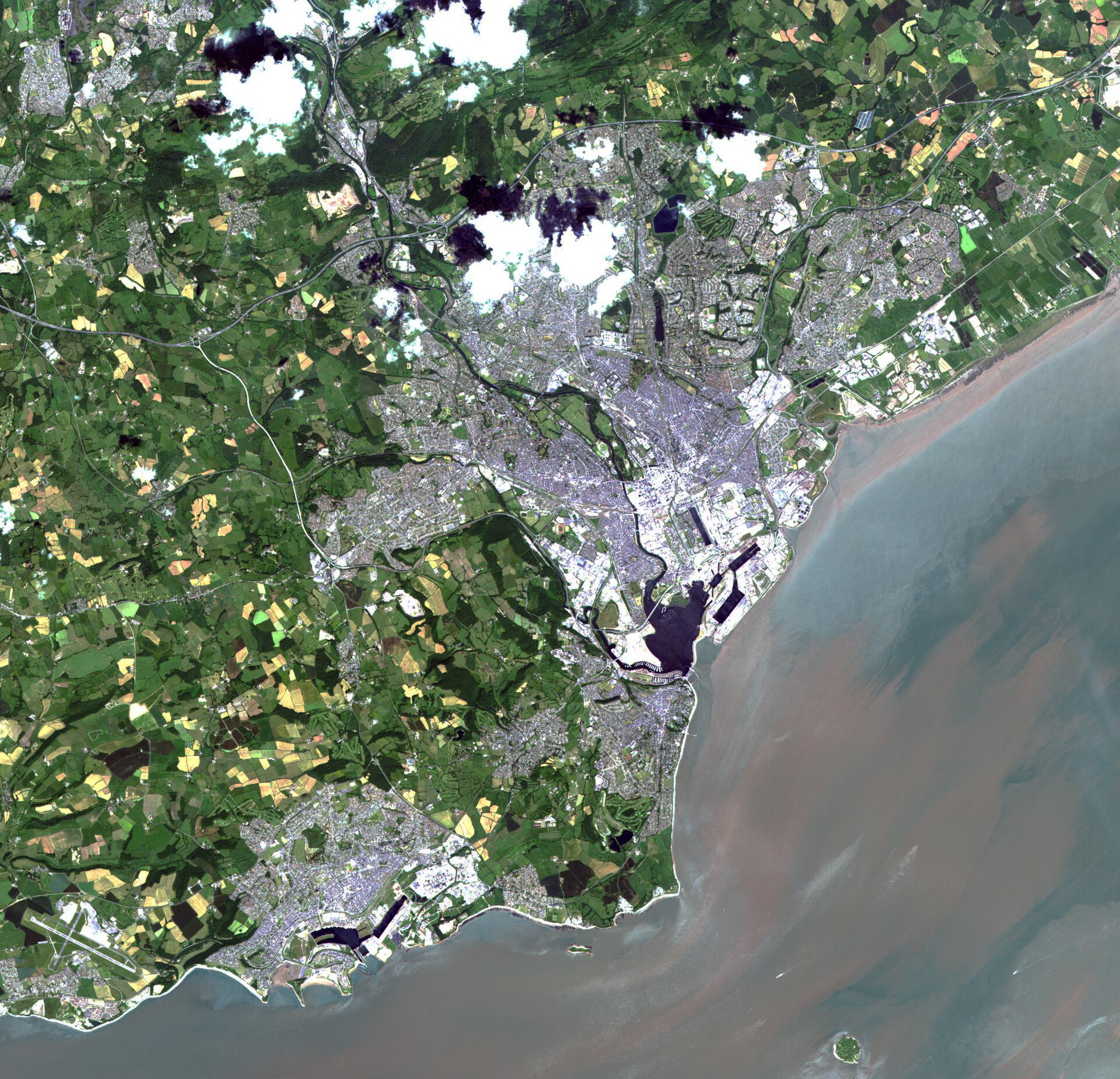
Kompsat-1 Launched in 1999, KOMPSAT-1 is a high-resolution optical mission developed by the South Korean space agency (KARI). Through a Third Party Mission agreement, ESA has been making a sample dataset of European cities based on Kompsat-1 data. South Korea started the Multi-Purpose Satellite (Kompsat) programme in 1995.
Kompsat-2 Launched in 2006, Kompsat-2 was developed by KARI to ensure continuity with Kompsat-1. Its instruments can acquire high- and very-high-resolution imagery with a footprint of 15 km. Multispectral and panchromatic images can be acquired at the same time.
Landsat TM/ETM The Thematic Mapper (TM), a multispectral scanning radiometer, was introduced in the Landsat Programme, a joint initiative of NASA and the US Geological Survey (USGS). The first TM sensor was carried aboard Landsat 4, launched in 1982, until its decommissioning in 2001 and one still operates aboard Landsat 5, which as of 2009 has exceeded its designed life expectancy by over 22 years. The Enhanced Thematic Mapper (ETM) is aboard Landsat 7, which was launched in 1999. ETM data cover the visible, near-infrared, shortwave and thermal infrared bands. Landsat 7 imagery accounts for the largest parts of Earth’s surface displayed on web mapping services such as Google Earth and Google Maps.
NOAA AVHRR A sensor carried aboard the US National Oceanic and Atmospheric Administration’s (NOAA) long-running Polar Orbiting Environmental Satellites (POES) series, the Advanced Very High Resolution Radiometer (AVHRR) is a broadband, four- or five-channel scanner, sensing in the visible, near-infrared and thermal infrared bands.
Odin Sweden's Odin satellite, launched in 2001, has a dual-purpose mission to study ozone depletion and to search for water and oxygen in interstellar space. The project is carried out and funded jointly by the space agencies of Sweden, Canada, Finland and France. Its main instrument is a 1.1 m-diameter radio telescope.

Proba-1 Launched in 2001, the small Project for On-Board Autonomy (Proba) satellite was intended as a one-year ESA technology demonstrator. Once in orbit, however, its unique capabilities and performance made it evident that it could make big contributions to science so its nominal lifetime was extended to serve as an EO mission. Its main payload is a Compact High Resolution Imaging Spectrometer (CHRIS), designed to acquire hyperspectral images with a spatial resolution of 17 m across an area of 13 km and up to 63 spectral bands. Weighing just 14 kg, CHRIS is the smallest hyperspectral imager ever flown in space and can acquire up to five images at a time. Also aboard is the High Resolution Camera (HRC), which acquires black and white 25 km-square images to a resolution of 5 m.
QuikSCAT Launched in June 1999, QuikSCAT is a NASA/Jet Propulsion Laboratory mission that provides continuity of data with the NASA Scatterometer (NSCAT) mission. QuikSCAT data provide all-weather, high-resolution measurements of near-surface winds over global oceans to determine atmospheric forcing, ocean response and air–sea interaction mechanisms on various spatial and temporal scales. QuikSCAT is used in operational weather forecasting as well as in scientific research by combining wind data with measurements from instruments in other disciplines to provide a better understanding of the mechanisms of global climate change and weather patterns.
SciSat-1/ACE-FTS Launched in 2003, the Canadian SciSat-1 satellite was designed to observe Earth’s atmosphere. Through a Third Party Mission agreement, ESA is making data available from its main instrument, the Atmospheric Chemistry Experiment (ACE)-Fourier Transform Spectrometer (FTS). ACE-FTS measures the vertical distribution of trace gases, as well as pressure and temperature.
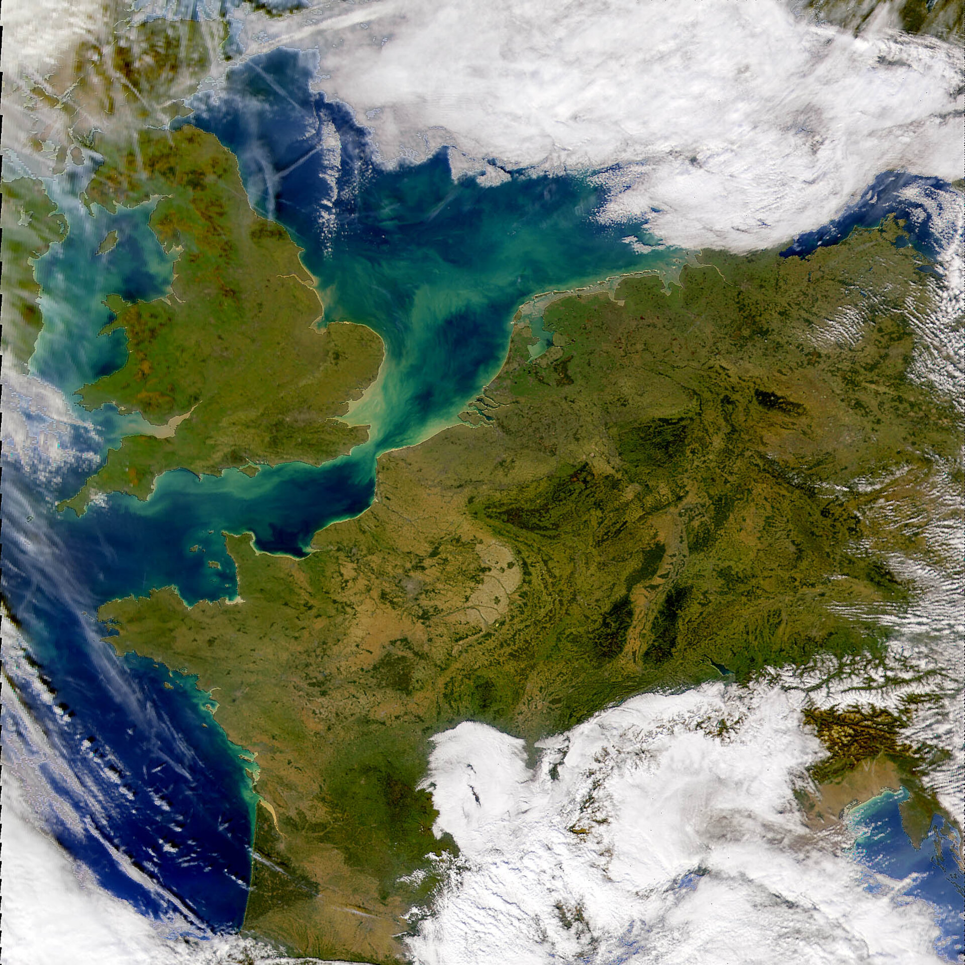
SeaWiFS Flown on NASA’s OrbView-2 satellite, the Sea-viewing Wide Field-of-view Sensor is complementary to Envisat’s MERIS instrument, monitoring subtle changes in ocean colour to identify pollution and marine phytoplankton concentrations.
SPOT-4 Launched in 1998, SPOT-4 features major improvements over its predecessors. It kept the same geometric imaging characteristics (a swath of 60 km per instrument and oblique viewing capability of 27° on each side of the local vertical) as SPOT-1, -2 and -3, but it added a new shortwave infrared spectral band (SWIR). Through an agreement established in 2006 between ESA and Spot Image, archived and new data from the four SPOT satellites are made accessible. An online collection of more than 20 000 Spot products, mainly over Europe, is available for direct download at ESA. The SPOT system was designed by the French space agency (CNES) and is operated by Spot Image.
Terra/Aqua MODIS The Moderate Resolution Imaging Spectroradiometer (MODIS) is a key instrument aboard NASA’s Terra (EOS AM-1) and Aqua (EOS PM-1) satellites. Terra’s orbit is timed so that it passes from north to south across the equator in the morning, while Aqua passes south to north over the equator in the afternoon. Terra MODIS and Aqua MODIS are broadly comparable to Envisat’s MERIS, viewing Earth’s entire surface every one to two days, acquiring data across 36 spectral bands to observe interactions between the oceans, atmosphere, land and biosphere and study changes in global climate.
ESA provides accessible archives for these concluded Third Party Missions:
IRS-P3 Launched in 1996, the Indian Remote Sensing Satellite (IRS-P3) was an experimental mission mainly focused on EO. It carried two different imaging sensors: Modular Optoelectronic Scanner (MOS) and Wide Field Scanner (WiFS).
JERS-1 Launched in 1992, the Japanese Earth Resources Satellite-1 (JERS-1) reentered the atmosphere in 2001. It was equipped with a Synthetic Aperture Radar (SAR) as well as a visible and infrared band Optical Sensor (OPS).
Landsat MSS/RBV Launched aboard Landsat 1 in 1972, the multispectral scanner (MSS) was also operational on Landsat-4 and -5. However, the last MSS image was received in 1997. The MSS systems were the first global monitoring systems capable of producing multispectral data in digital format covering up to 185 sq km.
Nimbus-7 Launched in 1978, the NASA/NOAA (US National Oceanic and Atmospheric Administration) Nimbus-7 returned the first daily maps of atmospheric ozone concentrations and the first global ocean colour measurements, equipped with a suite of eight instruments including a Coastal-Zone Colour Scanner (CZCS) and Solar Backscatter UV and Total Ozone Mapping Spectrometer (SBUV/TOMS). It continued to function into the 1990s.