Science & Exploration
Real and false colour visible images of Earth from Rosetta
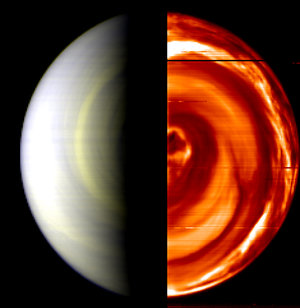
Rosetta’s VIRTIS took a series of high-resolution images of our planet in visible and infrared light from a distance of 250 000 kilometres and with a resolution of 62 kilometres per pixel.
These images show Earth in real colours (left) and stretched false colours (right). The contrast between land, clouds and sea has been increased. South America is seen in green where, through the clouds, it is possible to distinguish (a) Argentina and (b) the Andes mountain chains. The sea is blue while the clouds have a reddish-yellowish tint.
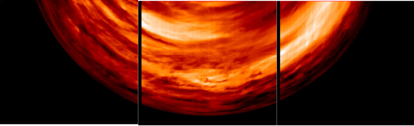
Radiation from below the Venusian cloud deck
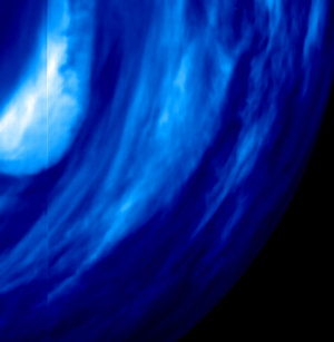
'Thin' cloud layer close to Venus' South pole
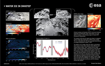
Infrared observations of water ice in Imhotep
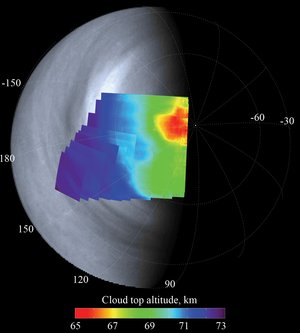
Altimetry of the cloud tops