Applications
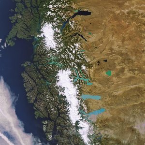
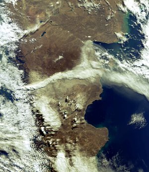
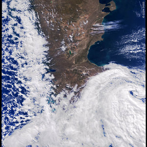
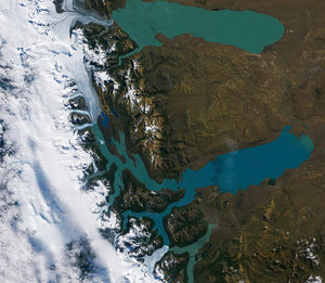
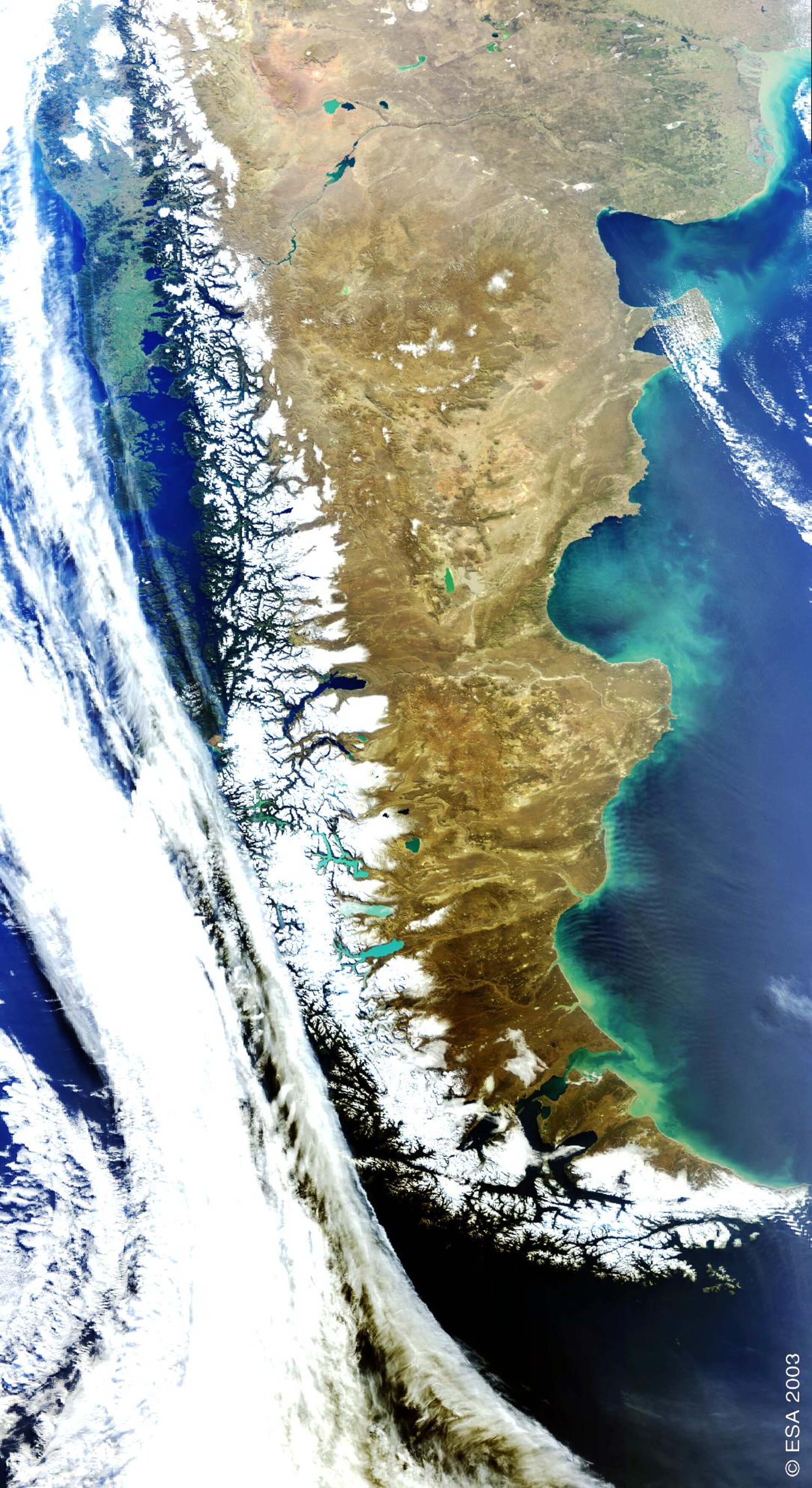
Envisat looks at the Patagonia Plateau
This image was acquired on 28 August 2003 by Envisat's instrument MERIS (Medium Resolution Imaging Spectrometer). It is focused over the Patagonia Plateau in Argentina and southern Chile, and shows the snow-capped Andes mountain range which forms a natural boundary between the two countries.