Agency
Lutetia coverage
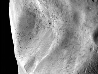
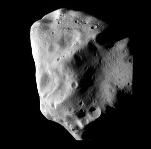
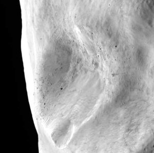
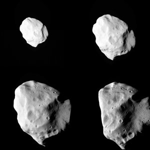
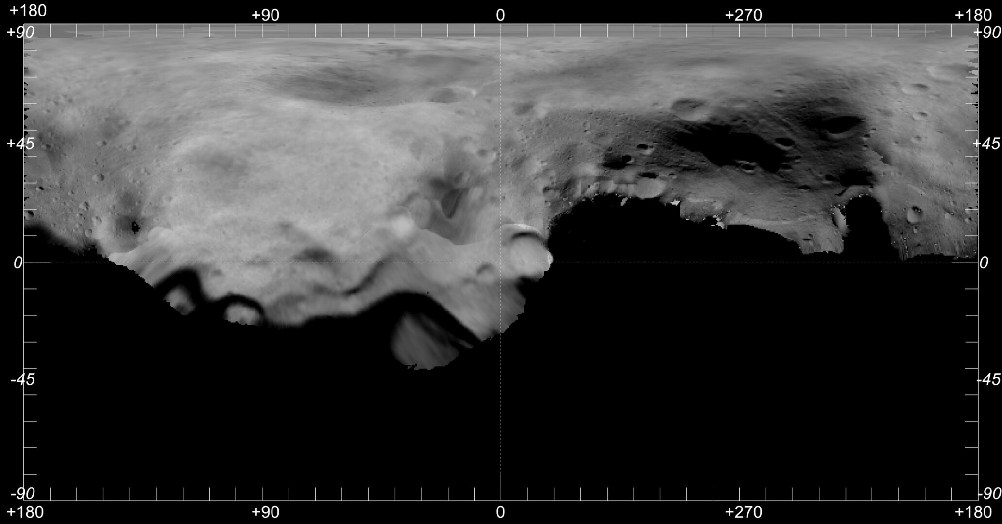
Several images have been combined into a map of the asteroid. This image represents the total area viewed by the spacecraft during the flyby, which amounted to more than 50% of Lutetia’s surface.
Several images have been combined into a map of the asteroid. This image represents the total area viewed by the spacecraft during the flyby, which amounted to more than 50% of Lutetia’s surface.