Science & Exploration
Topographic view of dried out river valley network on Mars
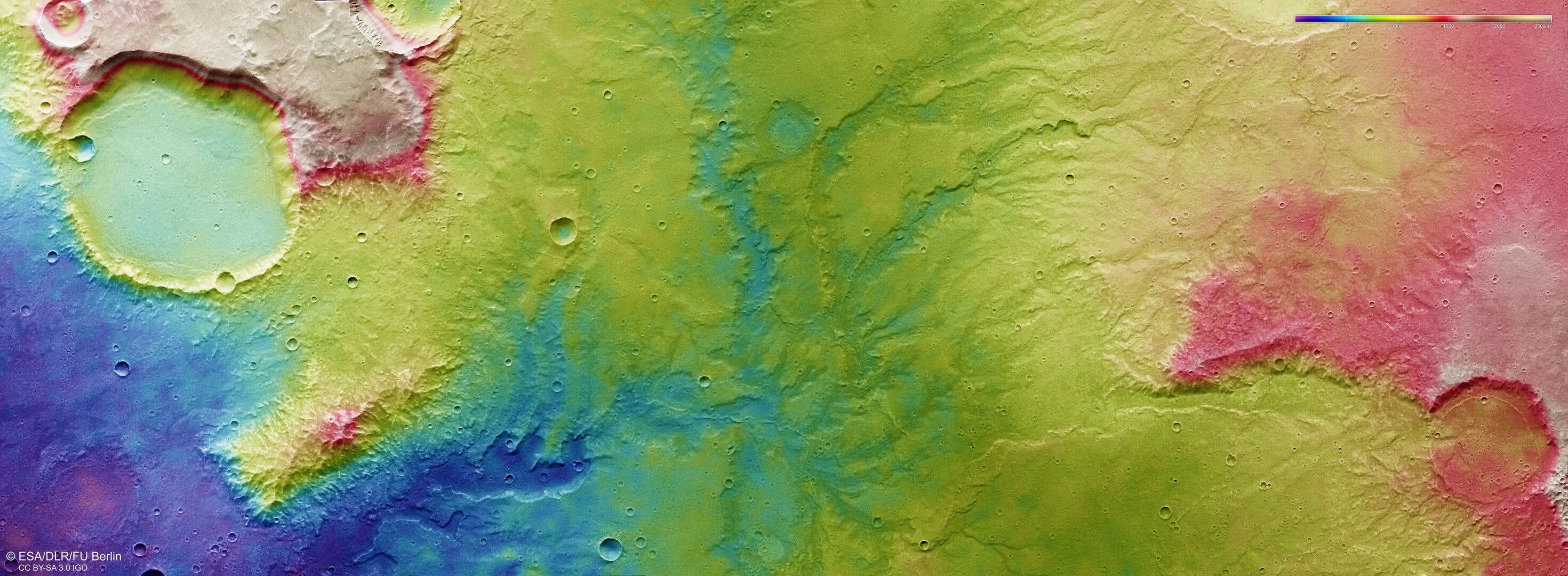
This colour-coded topographic view shows the relative heights of the terrain in and around a network of dried-up valleys on Mars.
Lower parts of the surface are shown in blues and purples, while higher altitude regions show up in whites, yellows, and reds, as indicated on the scale to the top right. This view is based on a digital terrain model of the region, from which the topography of the landscape can be derived. It comprises data obtained by the High Resolution Stereo Camera on Mars Express on 19 November 2018 during Mars Express orbit 18831.
The ground resolution is approximately 14 m/pixel and the images are centered at 66°E/17°S. North is to the right.

Perspective view of ancient river valley network on Mars
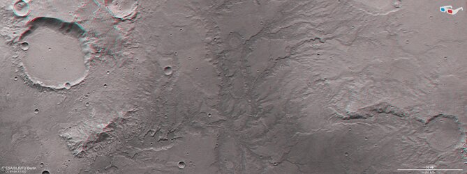
Mars river valley network in 3D

Topographic view of Nirgal Vallis
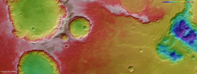
Topographic view of Mars’ Pyrrhae Regio