Science & Exploration
A slice of Mars in topographic context: Terra Sabaea and Arabia Terra
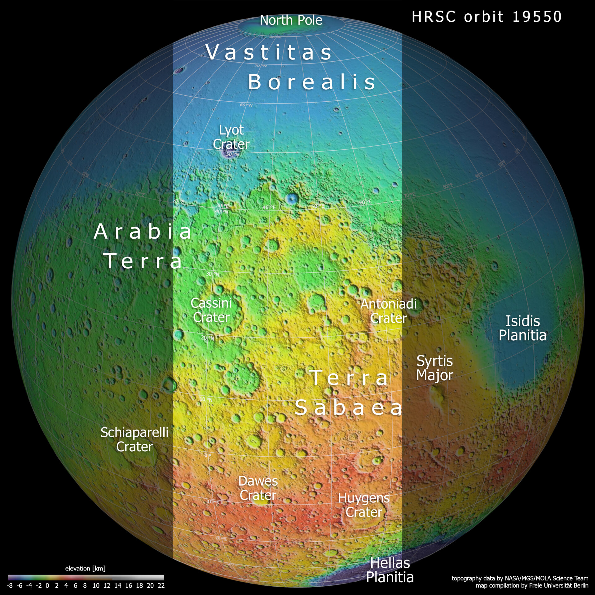
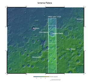
This colour-coded topographic image shows a slice of the Red Planet from the northern polar cap downwards, and highlights cratered, pockmarked swathes of the Terra Sabaea and Arabia Terra regions. The area outlined in the centre of the image indicates the area imaged by the Mars Express High Resolution Stereo Camera on 17 June 2019 during orbit 19550.
This context map is based on data gathered by NASA’s Viking and Mars Global Surveyor missions; lower parts of the surface are shown in blues and purples, while higher altitude regions show up in whites, yellows, and reds, as indicated on the scale to the bottom left.
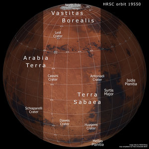
A slice of Mars in context: Terra Sabaea and Arabia Terra
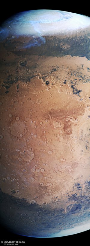
Mars Express view of Terra Sabaea and Arabia Terra

Mars Express view of Terra Sabaea and Arabia Terra
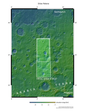
Ismenia Patera in context within Arabia Terra