Applications
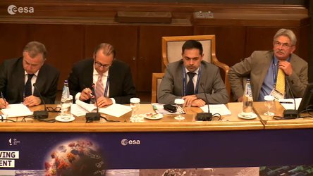
Athens - May 2014 - Wrap-up sessions and round table, Lesson learned and closing of the Conference

Representatives of regional organizations who use or will use geo-information to carry out operational responsibilities (risk, water, agriculture management etc) share their experience and talk about their geo-information needs. Panelists also discuss support mechanisms for users, such as EU funding mechanisms and support from the national government, as well as potential obstacles in accessing geo-information derived from satellite data. The conference closes by presenting the “Athens Conclusions” and by closing remarks from a host representative.

Athens - May 2014 - Wrap-up of first day sessions, C…

LTC2013 Athens - interview to Prof. Costantinos Car…

Athens - May 2014 - Copernicus, opportunities for ec…
Athens - May 2014 - Copernicus Services: the end-use…