
Ocean colour yields secrets of the deep
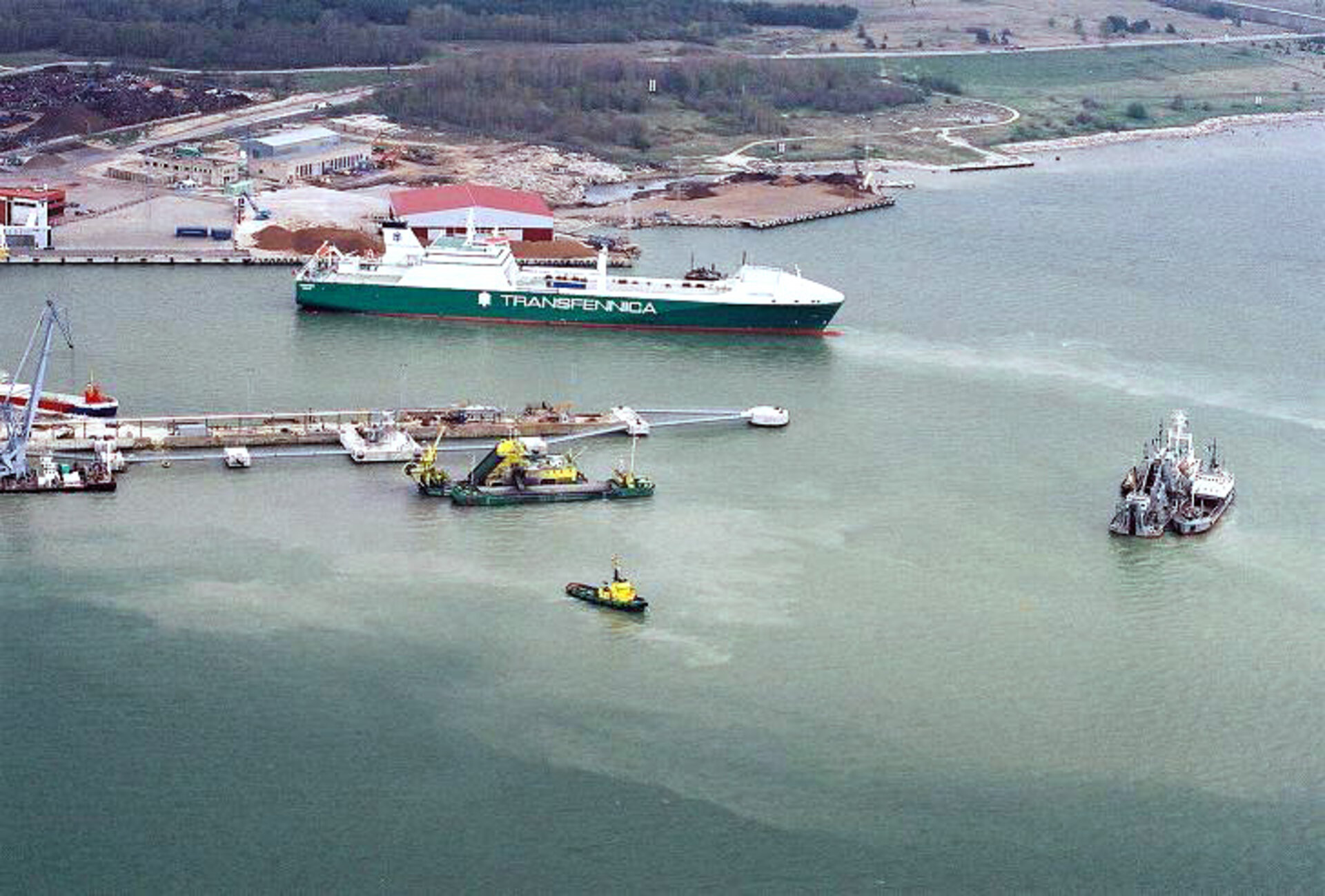
Ocean colour data can be used to interpret a range of environmental conditions at sea, including sporadic algal and plankton blooms and longer-term phenomena.
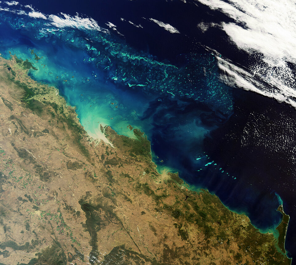
The colour of oceanic seawater depends largely on the number of microscopic phytoplankton, marine plants that live in the well-lit surface layer. Just like land-based plants, phytoplankton accumulate carbon dioxide during photosynthesis and store it in their tissues, making them potentially important carbon sinks.
While phytoplankton themselves are individually microscopic, the chlorophyll they collectively contain colours the ocean's waters, which provides a means of detecting these tiny organisms from space with dedicated ocean colour sensors.
To support ocean carbon cycle research, ESA's GlobColour project merged 55 terabytes of data from three state-of-the-art instruments aboard different satellites, including MERIS aboard ESA's Envisat, MODIS aboard NASA's Aqua and SeaWiFS aboard GeoEye's Orbview-2, to produce a 10-year dataset of global ocean colour stretching to 2007.
By combining observations from multiple sensors, GlobColour provided better sampling of the daily variability with smaller errors because of the larger amount of data and reduced instrumental biases.
To guarantee the dataset is of good quality, the data underwent an intensive validation process by comparing measurements from in situ buoys.
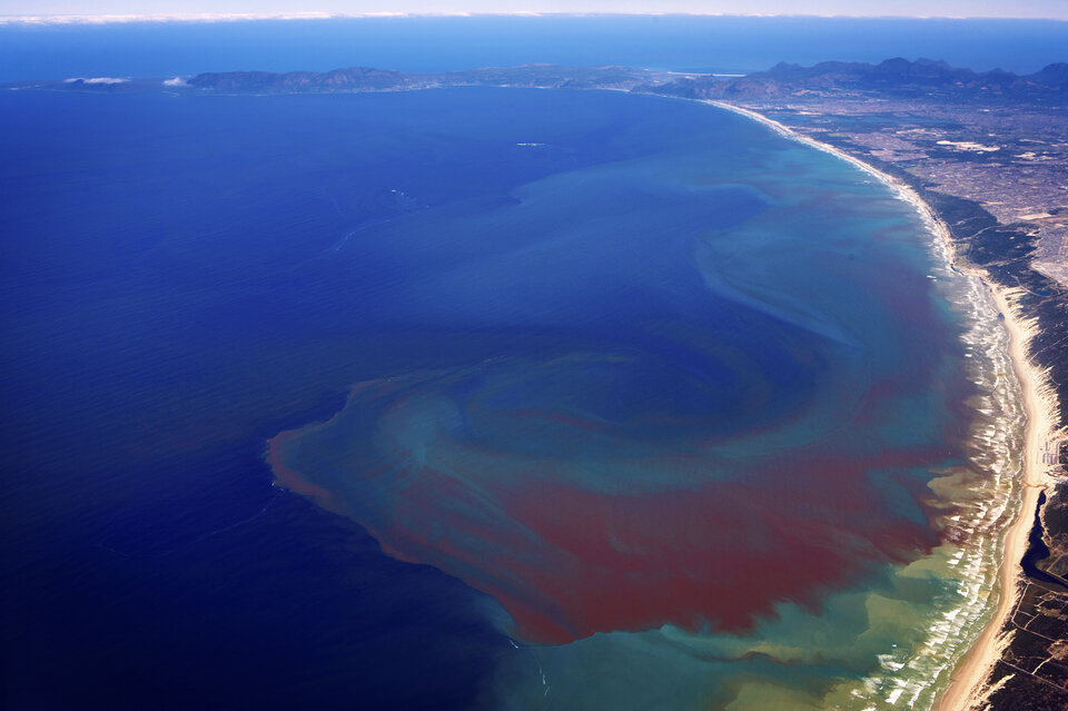
In addition to aiding carbon cycle research, ocean colour data can provide oceanographers with the information they need to monitor the state of the oceans for other applications, such as for the fisheries and aquaculture industries.
The continuing monitoring of ocean colour and its implications will be undertaken by the GMES/Copernicus Global Monitoring for Environment and Security initiative.
GMES – a joint initiative of the EC and ESA – responds to Europe's needs for geo-spatial information services by bringing together the capacity of Europe to collect and manage data and information on the environment and civil security, for the benefit of European citizens.
