Picturing Proba-3 for safer double satellite control
Controlling a single satellite in orbit is tough enough, but to oversee a pair of satellites as they fly in close formation around one another is likely to be extremely challenging. To simplify oversight of ESA’s coming double-satellite Proba-3 mission, its team is making sure controllers will obtain visualisations of the satellites’ relative positions in real time.
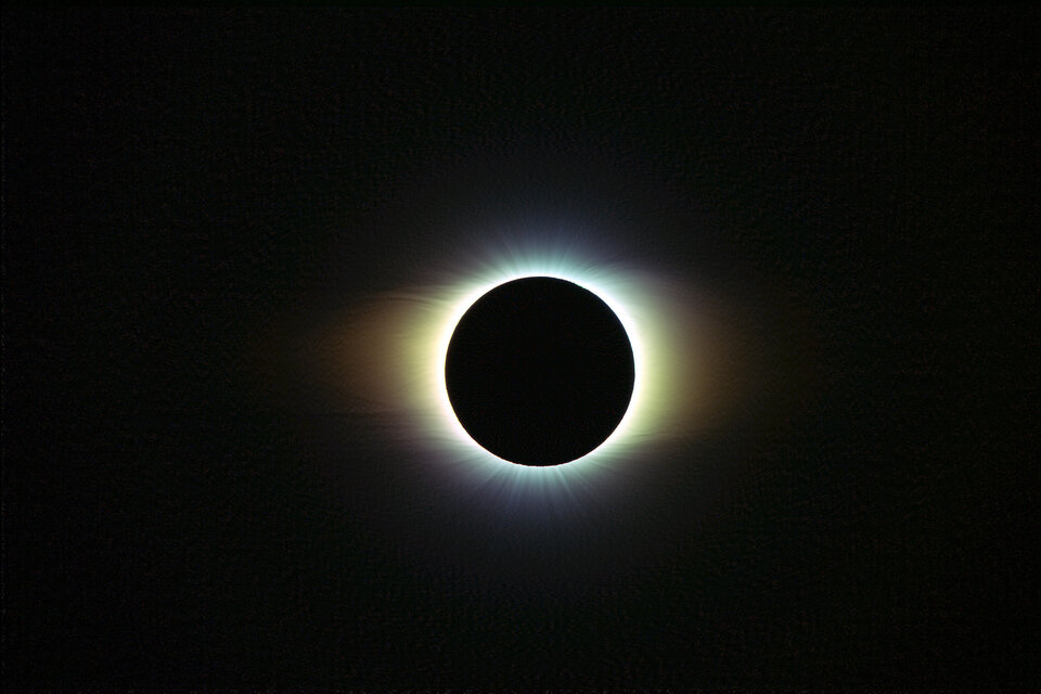
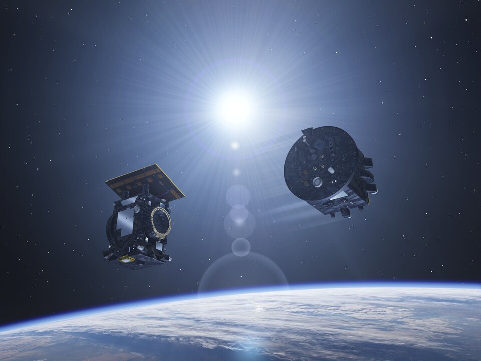
Scheduled for launch together this autumn, the Proba-3 pair will fly in orbit relative to one another down to millimetre scale precision. This will allow one to cast a precisely controlled shadow onto the other, in the process eclipsing the fiery disc of the Sun to reveal its faint surrounding corona for sustained observations.
“The Proba-3 satellites will maintain formation in this way on an autonomous basis for up to six hours per orbit,” explains Damien Galano, ESA’s Proba-3 mission manager. “But at other periods during each highly elliptical 19-hour orbit – during which the pair fly from their closest 600 km from Earth all the way to a hundred times further out – active human oversight will indeed become essential.”

Access the video
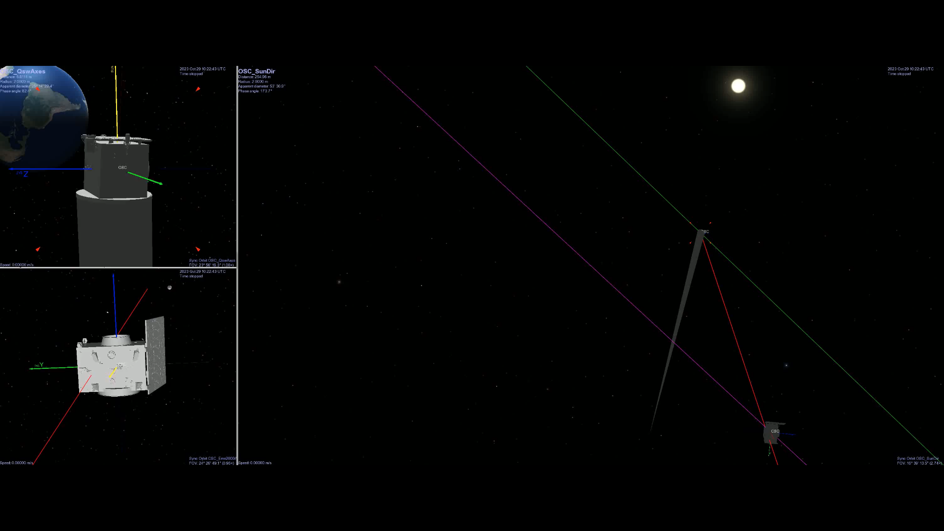
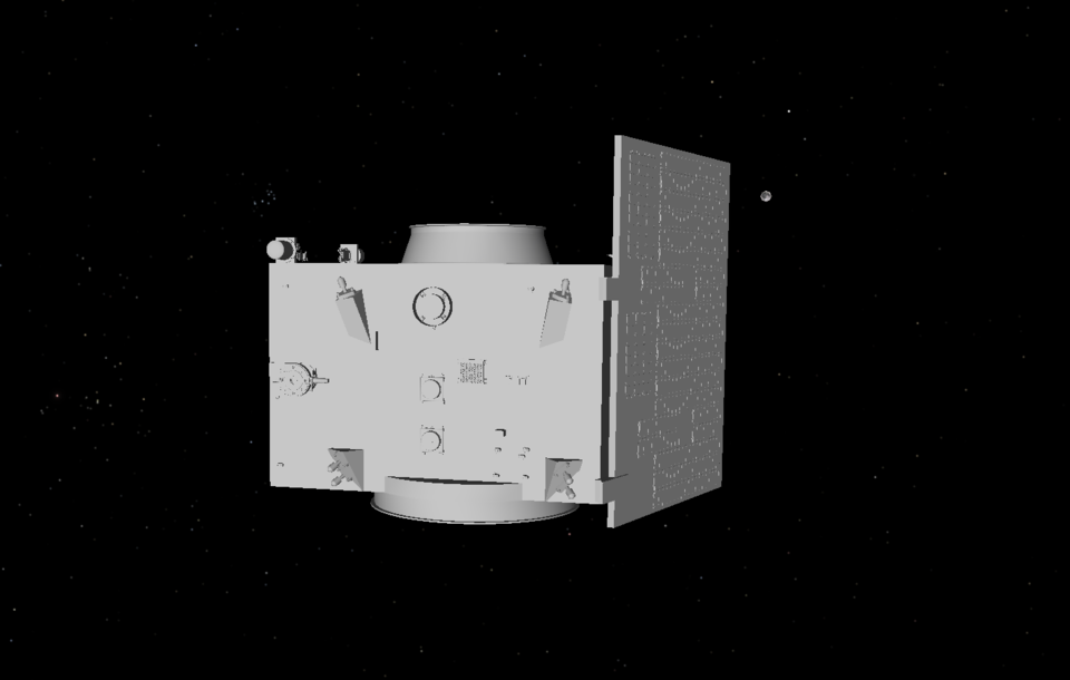
“As we developed the initial simulator system it quickly became clear that we couldn’t just rely on the numbers we’d get back from the satellites’ telemetry. Typically what you get is their position stated in three coordinates amounting to the X, Y and Z axes, but it’s impossible for the human brain to translate that fast enough; we can’t work solely with an incoming stream of numbers.
“Even more importantly for maintaining double satellite control, we need to get an instant sense of exactly how the two platforms are oriented towards each other – for instance, is the shadow being cast in the right location, is the laser pointed directly? The telemetry could eventually give us a few graphs showing these variables, but we realised that what we needed was an immediate snapshot portraying the satellites’ dynamics and trajectories.”
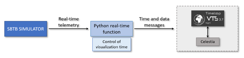
To perform the real-time 2D and 3D visualisations the Proba-3 team realised they required, they turned to the VTS (Visualization Tool for Space data) software which is licenced freeware owned by French space agency CNES and developed by the Spacebel company in Belgium.
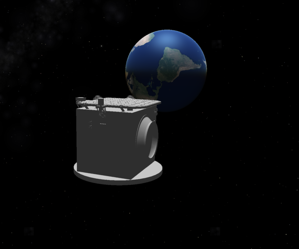
“VTS is not actually a visualisation tool as such,” explains Proba-3 system and software engineer Esther Bastida Pertegaz. “It is a means of centralising multiple applications on a seamless time-synchronised basis, including visualisation software, with the freeware space simulator Celestia included as its baseline.”
Regularly updated, VTS has been employed by numerous European space missions in the past, typically help plan complex manoeuvres and acquiring images for a given region of Earth or other planetary bodies.
Esther explains: “What is really new for Proba-3 is that we have developed a code forging a real-time link between VTS and the incoming telemetry – for now from the simulator but eventually from the actual satellites – so the operator gets an intuitive sense of the two satellites with a single glance.”
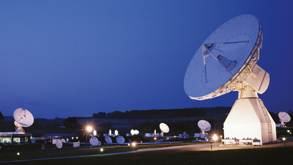
Having begun employing VTS for testing out Proba-3’s mission simulator, as a next step the team will soon be extending its use to start training Proba-3 operators, who will oversee the satellite pair from ESA’s Redu centre in Belgium. Then, once the mission begins flight, VTS will also be integrated into their control infrastructure.
“The controllers will not be overseeing the satellites continuously,” adds Esther. “But for example, when the satellites are at perigee, or their closest point to Earth, VTS will ingest the telemetry that estimates their orbital tracks out to 60 530 km away, so the controllers will be able to look at a glance and see if there is any problem that needs to be corrected, for instance if the satellites will come too close to one another or venture too far away.”
The first version of VTS was released in 2007 but has received regular upgrades since then, incorporating bundled applications including various visualisation and plotting tools. It has been used in many major space missions including ESA’s ATV ‘space trucks’ to the International Space Station, the Rosetta comet chaser and its Philae lander, Europe’s Copernicus Sentinel-3 Earth observation mission and the forthcoming Japanese-German Mars Moon Exploration mission, serving to visualise the orbits of Phobos and Deimos around the Red Planet.
Part of the attraction of VTS is that it can be deployed in an operator’s computers on an entirely separate basis, so it reads the data coming from other systems without any risk of disrupting them if it were to go wrong.
“Versatile and user-friendly, VTS has been used in a multitude of contexts, demonstrating its adaptability across different stages and aspects of space missions,” notes Thomas Crosnier of CNES. “This ranges from pre-project mission design and simulations through to operational mission planning and flight dynamics both around Earth and further out into the Solar System. And as space missions become more complex, VTS has kept pace with additional capabilities and features. We’re proud that ESA’s Proba-3 has become the latest space mission to utilise VTS.”