Agricultural forecasting
With its outcome dependent on multiple exterior factors, agriculture has always been an uncertain business.
The ability to reliably forecast crop production, yield and quality is valuable for economic planning and commodities forecasting as well ensuring global food security.
Informing management decisions
Increasing the accuracy of agricultural forecasting is an important application of Earth observation, informing decisions on agricultural management including irrigation, planting, irrigation, pricing and regional need for food assistance if a harvest is likely to fail.
Besides returning information on the impact of prevailing weather, satellite data can also provide a timely summary of acreage under cultivation, potentially differentiating between different crop species. They can also determine plant health, biomass density and soil moisture.
Rice mapping
Currently operational Earth observation-based agricultural forecasting services are mainly concerned with rice, the staple foodstuff of most of the human race, supplying 29% of total calorie intake of developing countries.
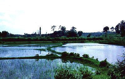
Rice cultivation is especially well suited to radar surveillance from space, because rice fields have to be flooded during the transplanting and vegetative stage, and radar imagery can detect waterlogged ground very well, and unlike optical sensors, radar can penetrate the humid clouds typical of Asian rice-cultivating regions.
Global rice demand is set to more than double during the next two decades. In the past, large increases in rice yield were made possible by investment in irrigation and flood control, but increased water scarcity limits future expansion by this method.
Instead, the information products from rice forecasting services can guide the activities of growers, for instance using less irrigation during the latter stages of growth if the forecasts show the rice is growing healthily enough not to require it. The use of Earth observation also has the potential to reduce methane emissions from rice crops, a major contributor to global warming.
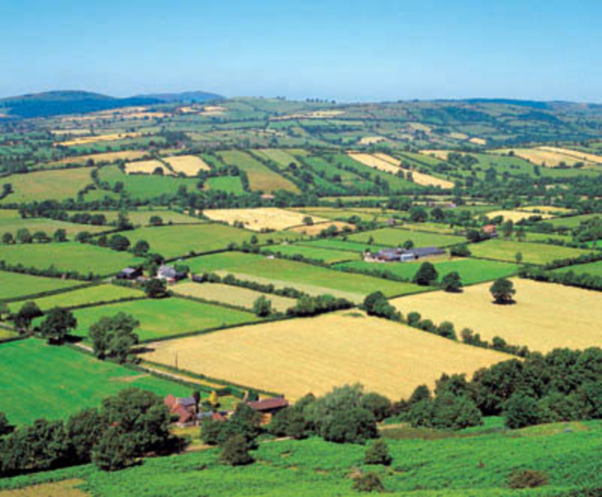
Precision farming
The same satellite technologies that make agricultural forecasting possible also have great potential in the linked area of precision farming. This involves characterising individual sites within an overall area under cultivation to a high degree of accuracy, often employing satellite navigation and merging space and ground-based data into a geographical information system for maximum precision.
So a hundred hectare field effectively gets turned into a hundred one-hectare fields, with crops chosen and cultivated in a site-specific manner based on local soil characteristics, slope angle, solar irradiance and other relevant variables, some acquired via Earth observation. The result should be a large increase in overall yield and quality.