Metocean for offshore activities
The weather influences everything - but its influence is far greater over the sea than it is on land. Even so, reliable offshore weather and sea state monitoring is difficult to achieve, at least from on the Earth.
Growing demand
Measurement stations, buoys and ships can never adequately cover the full span of the ocean, covering 71% of the Earth. Space-based observations are needed for quality meteorology over oceans – known as 'metocean'. Demand for metocean services is growing with the expansion of offshore activities.
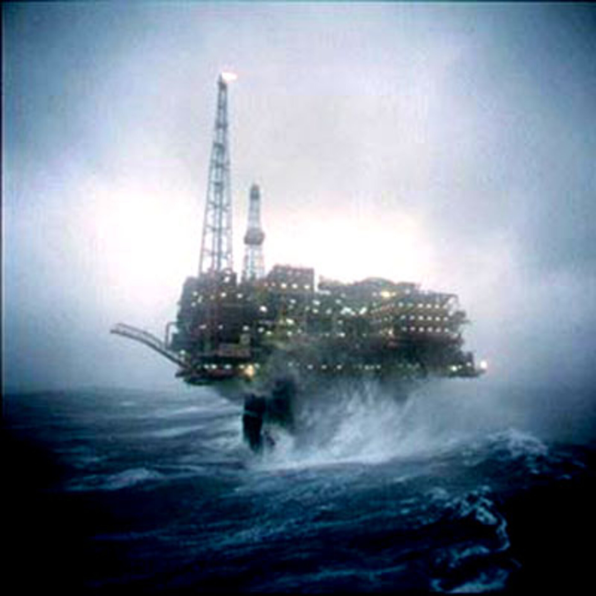
Safety, environmental security and operational cost reduction in the marine engineering, deep-water exploration and shipping industries depend critically on accurate information on wind, wave and ocean current conditions. For instance, pipeline-laying operations can only be safely carried out in conditions where average wave height is less than three metres.
Statistics on seasonal wind and wave averages help to plan the best times for marine activities such as surveying, dredging, and salvage. The same information is useful for insuring operations taking place at a given place and time.
Complementing conventional data collection
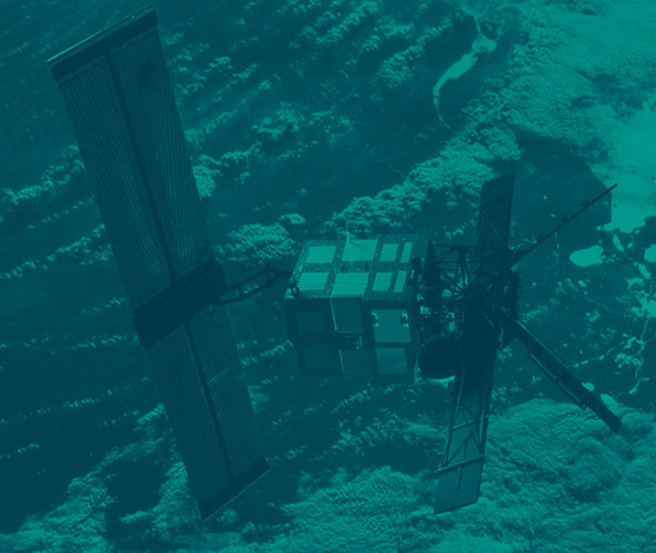
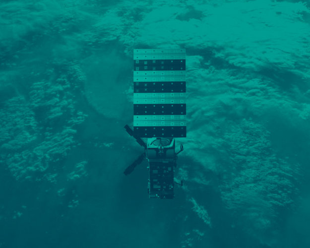
Space-based monitoring complements conventional data collection, enabling near-real time retrieval of wave height and frequency, wind speed and direction and ocean current velocity on global and regional scales, providing a synoptic view of large-scale processes that in-situ instruments may be incapable of detecting.
Satellites can also routinely gather data from remote or harsh environments seldom visited on the ground.
Earth observation also provides extensive archives of consistent quality-controlled data in a standardised format, enabling the derivation of high-quality statistical values.
Global coverage
Operational services available include Wave Climate from the Netherlands-based ARGOSS, providing wind and wave climate data derived primarily from radar altimeter, scatterometer and Synthetic Aperture Radar wave mode data.
It covers the world's oceans to a resolution of approximately 200 sq km. A route-planning service called Route Climate is available based on the same database as Wave Climate.