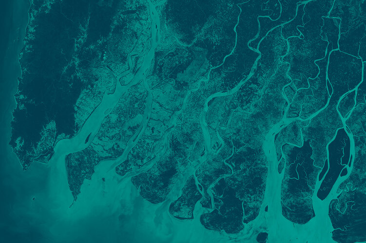
Changing lands
As well as providing detailed information about Earth’s vegetation, Sentinel-2 is designed to play a key role in mapping differences in land cover to understand the landscape, map how it is used and monitor changes over time.
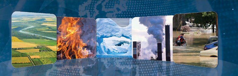
In addition to changes occurring naturally and those caused by climate change, Earth’s surface is being continually changed by humans in order to feed, shelter and support a growing population. These changes occur at many levels – at local, regional, national and global scales.
Sentinel-2 is able to systematically map different classes of cover such as forest, crops, grassland, water surfaces and artificial cover like roads and buildings.
This kind of information can benefit a multitude of applications.
For example, Sentinel-2 can be used to manage natural resources, to check rates of deforestation, re-forestation and areas affected by wildfire. Information from Sentinel-2 can help governing bodies and commercial enterprises make informed decisions about how best to manage, protect and sustain our important forest resources.
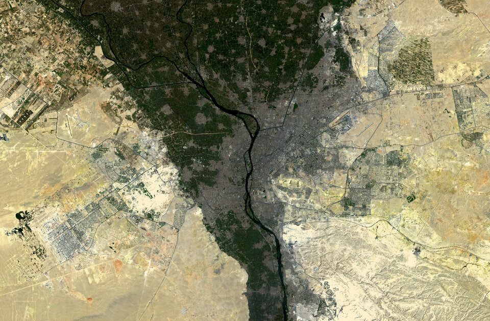
As cities continue to expand, Sentinel-2 can also be used to track urban expansion and assist urban planners.
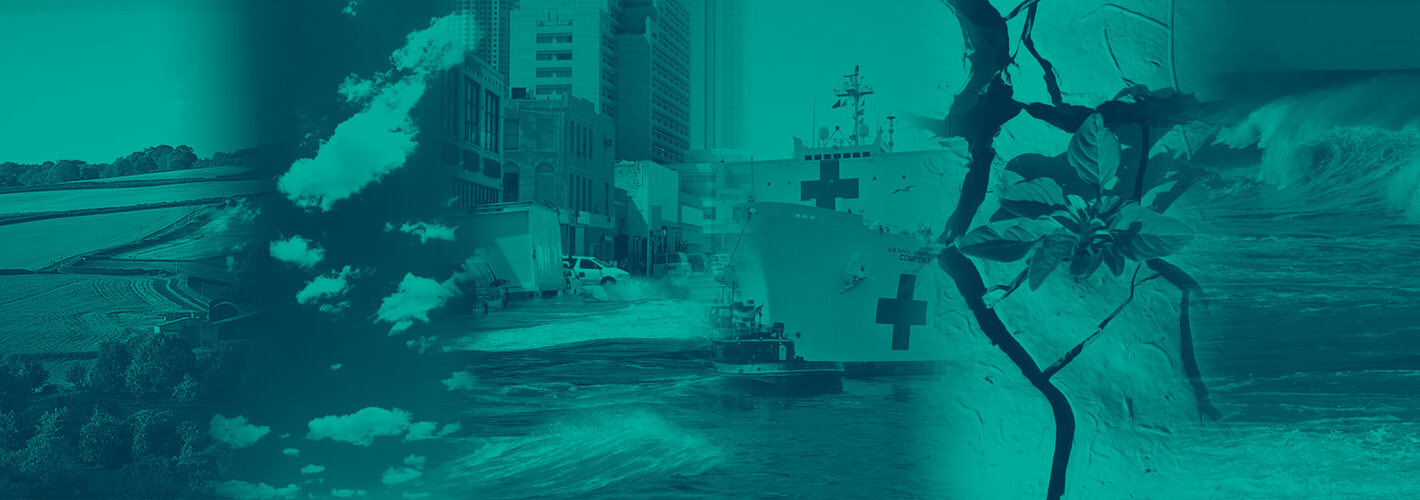
The mission is also needed to track conditions associated with the spread of disease such as malaria to help implement early warnings and mitigation strategies.
Sentinel-2’s frequent coverage is also key to monitoring floods and volcanic eruptions. This allows Sentinel-2 to contribute to disaster mapping and support humanitarian aid work.