Canadian fires tracked by satellites
Wildfires have been raging in Canada’s Alberta province for nearly three weeks, causing widespread destruction and forcing thousands of people from their homes. As the blaze grows and shifts, satellites are tracking its movement.
The exact cause of the wildfires has not been determined, but unseasonably hot and dry weather has contributed to their rapid growth.
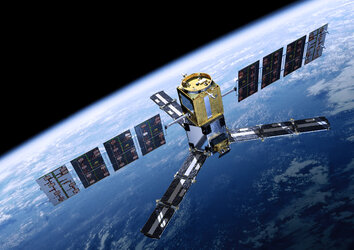
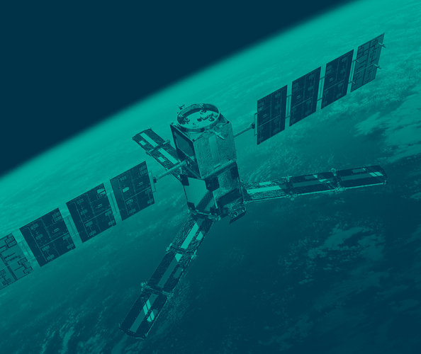
Satellites from numerous space agencies across the globe have imaged the fires, including the recently launched Sentinel-3A for Europe’s Copernicus programme.
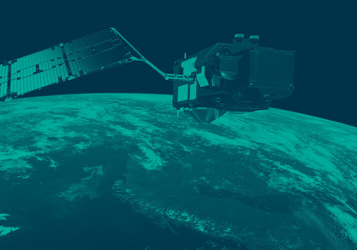
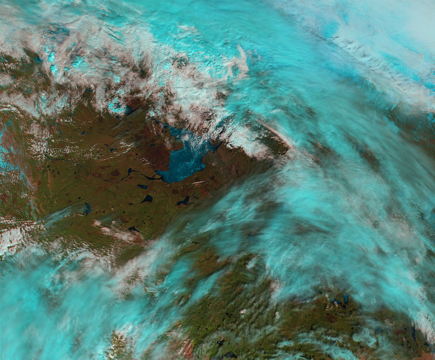
The animation above shows that the fires were detected by Sentinel-3A’s Sea and Land Surface Temperature Radiometer. It measures the energy radiating from Earth’s surface in nine spectral bands, including visible and infrared, and has dedicated channels for measuring fires.
Launched in February, Sentinel-3A is still being commissioned – engineers are checking to make sure the satellite and its instruments are working properly before the data can be distributed for operational use.
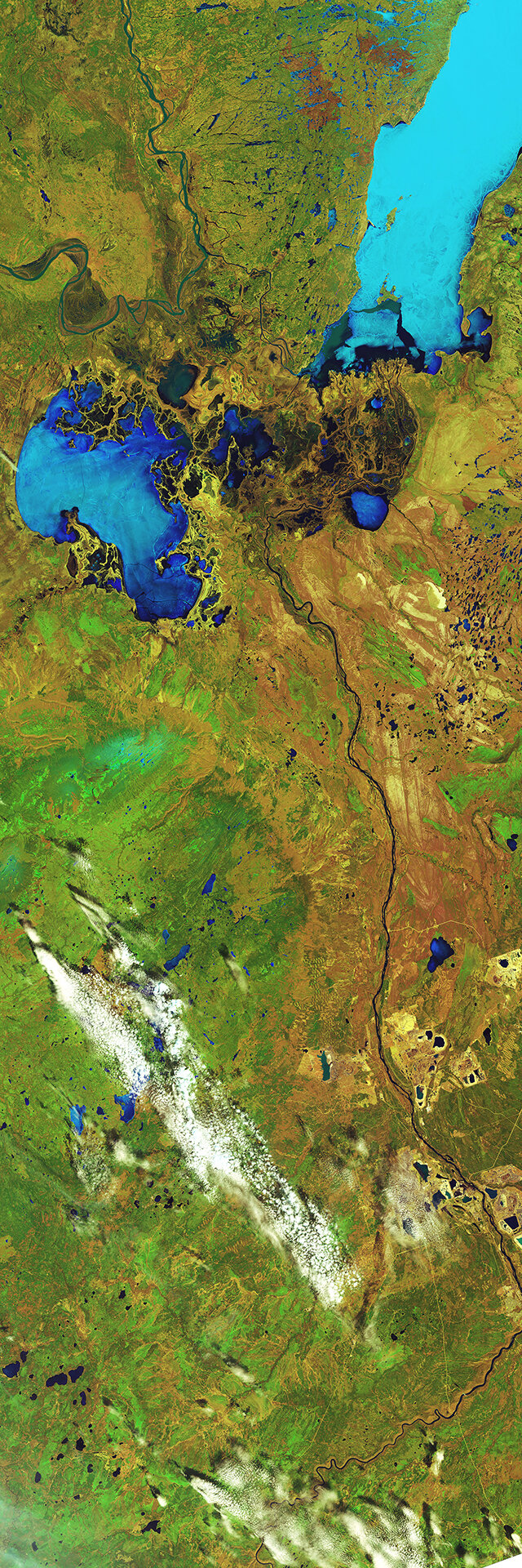
These are the first results from the fire channels. Once the satellite is in service, images such as this will help to assess the size and power of a wildfire, provide an indication of how the fire front is developing and the course it may be taking – important information for firefighting and planning evacuations.
Together with the satellite’s Ocean and Land Colour Instrument, which can be used to assess the state of vegetation, this kind of information is also expected to be used by civil protection agencies for early warning and risk assessments.
“We are still in the early phases of using data from Sentinel-3A since it was launched only at the end of February. However, these new images show great potential for applications in civil protection,” said ESA’s Susanne Mecklenburg.
“Used together with other data such as soil moisture around plant roots from our SMOS satellite, for example, it will be a valuable source of information to forecast the fire risk and in the event of a fire help monitor how it evolves.”
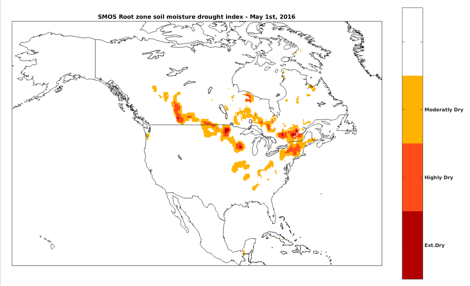
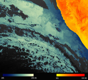
SMOS has been measuring soil moisture and detecting dry areas that are susceptible to fires. The image on the left shows dry soils in North America on 1 May – the day the wildfires broke out.
This kind of information is a powerful tool for civil protection organisations, such as the Diputació de Barcelona in Spain, who have been using SMOS information in their summer forest fire prevention campaigns since 2012.
These new results were presented at the Living Planet Symposium held in Prague in the Czech Republic on 9–13 May 2016.