Facts and figures
Launch: 8 April 2010
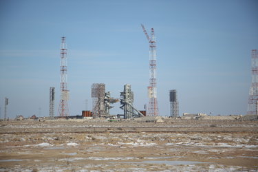
Launch site: Baikonur Cosmodrome, Kazakhstan
Launcher: Russian/Ukrainian Dnepr based on SS-18 intercontinental ballistic missile
Launch provider: International Space Company Kosmotras
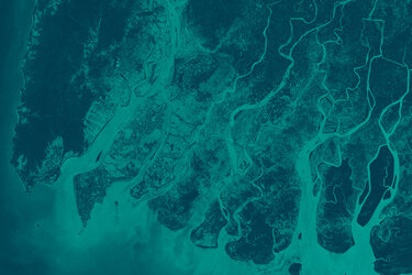
Objectives: To measure changes in ice thickness to an accuracy of about 10% of the expected interannual variation. Over sea ice this is about 1.5 cm/year, over small areas of ice sheet this is about 3 cm/year. Integrated over the whole of Greenland, the required accuracy is is 0.7 cm/year.
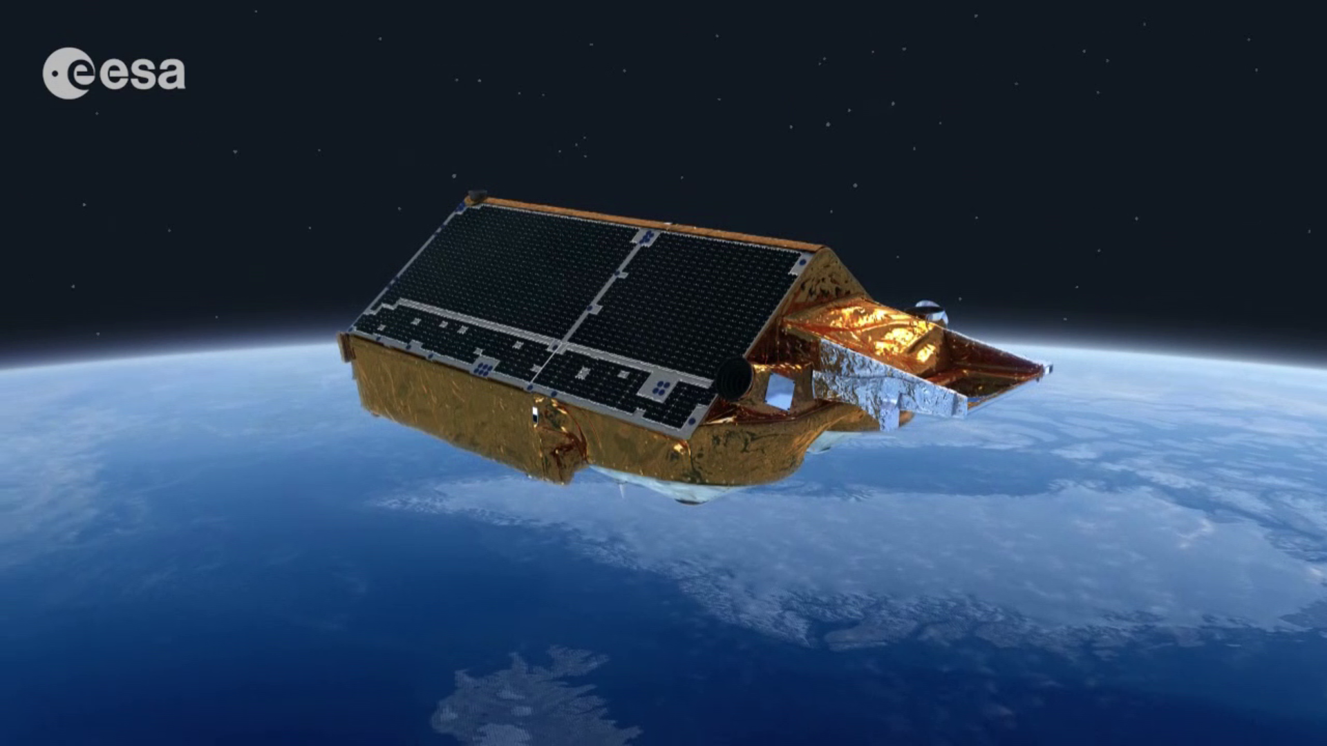
Instrument: SAR Interferometric Radar Altimeter (SIRAL), supported by Doppler Orbit and Radio Positioning Integration by Satellite (DORIS) and Laser Retro-Reflector (LRR) for precision orbit determination
Mass: 720 kg at launch, including 37 kg of fuel
Power: 2 × GaAs body-mounted solar arrays, each delivering 850 W; 78 Ah Li-ion battery
Orbit: Mean altitude of 719 km and inclination of 92°; low Earth, polar, non-Sun-synchronous
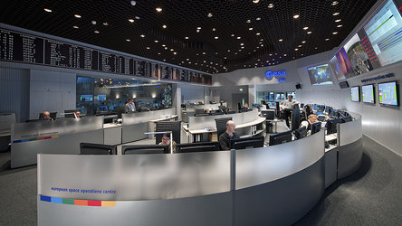
Mission control: ESA’s European Satellite Operations Centre (ESOC) in Darmstadt, Germany
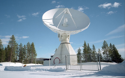
Ground station: Science data downloaded to ESA’s ground stations in Kiruna and Esrange, Sweden
Data processing: Data distributed directly to users from the ground station in Kiruna, Sweden; distribution and mission planning managed via ESA’s Centre for Earth Observation (ESRIN) in Frascati, Italy; long-term archive at a dedicated facility at the French space agency CNES in Toulouse, France
Mission duration: Minimum 3 years
Project: Mission development and commissioning managed at ESA's European Space Research and Technology Centre (ESTEC) in Noordwijk, the Netherlands
Prime Contractor: Astrium GmbH (now Airbus Defence & Space)