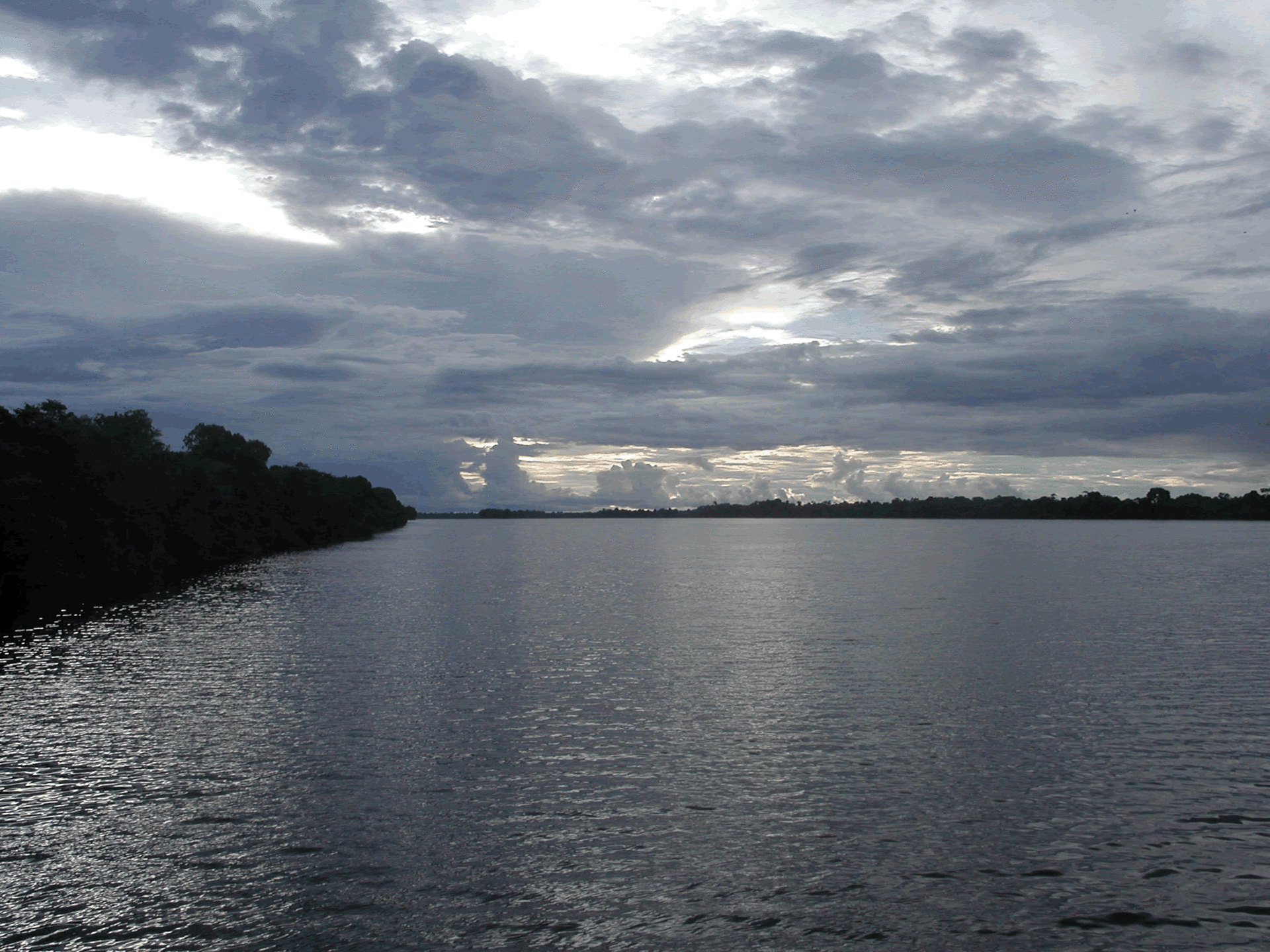
Rivers & lakes
Less than 1% of Earth's water is found on land, and most of that buried underground in aquifers. But for life, surface freshwater is an essential resource. Our main suppliers of freshwater are rivers and lakes – the visible segment of a complex hydrological process that cycles water between the land and the sea.
River resources
As well as being resources in their own right, surface water bodies moderate local weather and - as areas of high biodiversity - often supply food to the local population as well as water. And due to the way they arise, they can be early indicators of regional or global climate change.
Part of the water cycle
Rivers and lakes are part of what is called the water cycle: water vapour is taken into the atmosphere from the oceans by evaporation, and then carried by updrafts from warm land surfaces to colder high-altitude terrain where it condenses as rain or snow.
That water trickles down the slopes of catchment areas to end up in rivers, which move huge volumes of water across the land surface. They go on to replenish the inundated basins we call lakes, or run all the way back to the sea to complete the water cycle.
While the second half of this process is driven by gravity, the first half is driven by solar energy, so global warming may disrupt it. A warmer atmosphere can hold more water vapour, causing periods of drought followed by severe weather events. Decreasing winter snows may cause river volumes to decrease, while increasing evaporation occurring over warmer land could shrink them still further.
Earth Observation spacecraft are already able to measure water vapour concentrations across the planet, with forthcoming missions such as EarthCARE (Earth Clouds, Aerosols and Radiation Explorer) set to sharpen the accuracy of these observations. They can also estimate snow and ice thickness, factors determining downstream river volumes.

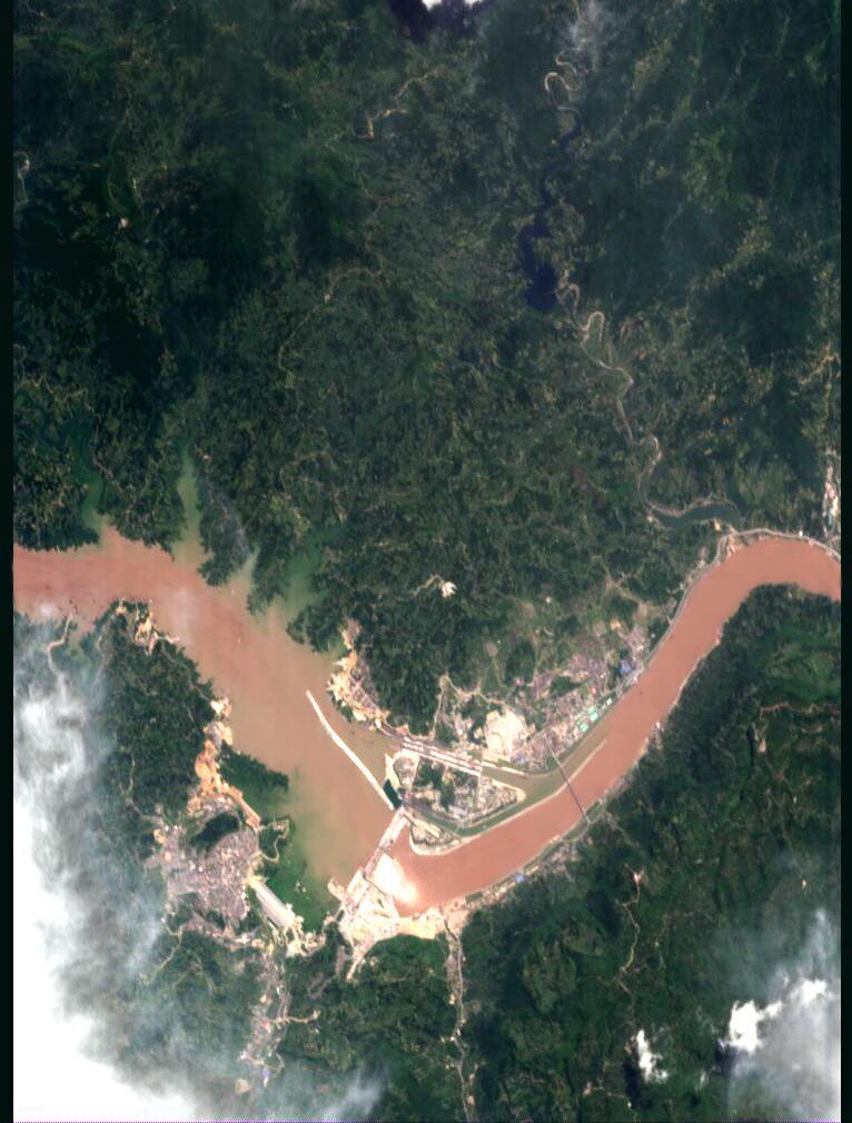
Satellites measure global river flow
Historically, monitoring the water flow of even the planet's largest river system, the Amazon, has been hampered by the sheer difficulty of obtaining reliable measurements.
But special algorithms can extract river and lake data from space-based radar altimeter instruments, providing such measurements with great accuracy on a continuous basis for all the major rivers of the world.
The individual properties of rivers come from the landscapes they flow through, so hydrologists studying rivers require detailed knowledge of their surrounding catchments. Satellite imagery can show an entire river catchment with a single picture, while the same altimeter instruments used to measure river flow can also be used to create digital elevation models of this terrain.
The waters beneath
The majority of freshwater is located beneath our feet, stored in vast subsurface aquifers made of permeable rock. Rainfall seeps down to keep these aquifers filled, and groundwater issuing from the aquifers tops up rivers. Growing human numbers lead to an increasing use of groundwater pumped up from underground, particularly in arid regions.
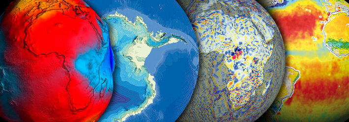
Satellite radar data can be used in a technique called interferometry to map tiny millimetre-scale land shifts above aquifers, enabling scientists to deduce changes in groundwater levels. And by measuring local variations in Earth's gravity field, the GOCE (Gravity Field and Steady-State Ocean Circulation Explorer) mission should enable the identification of subsurface aquifer locations worldwide.