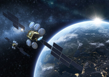
ESA satellite receiver brings worldwide sea traffic tracking within reach
ESA, together with European industry, is developing a space-based system to monitor maritime traffic on a worldwide basis. Tens of thousands of ships are crossing the oceans at any one time but they could be tracked with a constellation of as few as five satellites, by using advanced signal receiver technology.
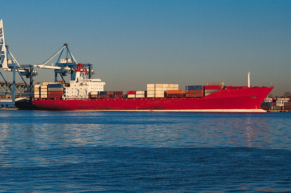
The satellites would detect ships from their Automatic Identification System (AIS) transmissions. All international vessels over 300 tonnes, cargo vessels over 500 tonnes and all passenger ships of all sizes are mandated to carry AIS. The system is employed by port authorities, coast guard and search and rescue organisations.
However, the system's VHF signals have a horizontal range of only 40 nautical miles (74 km), meaning that AIS traffic information is only available around coastal zones, or on a ship-to-ship basis in the deep ocean – no global overview is available.
A job for satellites
"Knowing the position of every ship in every geographic position would be valuable for vessel traffic monitoring, border control and detection of illegal activity," says Alberto Ginesi, Head of the Communication-TT&C Systems & Techniques Section of ESA's ESTEC technology centre in the Netherlands. "Service users would include maritime authorities and the defence sector, and shipping and insurance companies among the private sector."
Satellites have long been considered as a way of extending the system's reach. In 2007 the US TacSat-2 detected AIS signals from orbit but the signals were corrupted by co-channel interference – looking down on thousands of kilometres of ocean simultaneously, the satellite receiver picked up multiple transmissions. In Europe, Norway started activities aimed at demonstration on a micro-satellite. In ESA such activities continued under the Basic Technology Research Programme (TRP) and the General Support Technology Programme (GSTP).
Down on the ground, AIS avoids this interference by following the same principle that enables multiple phone calls to take place freely within the same mobile phone cell. Any ships within 40 nautical miles of each other form a 'self-organised cell' and using a technology called Time Division Multiple Access (TDMA) channels are sliced in time so that each vessel is assigned an approximately 30-millisecond signal slot to transmit in sequence, the overall transmission being picked up by an AIS coastal base.
Sifting through crowded skies
"Within a self-organised cell, this sharing of radio frequencies works fine," explains Mr Ginesi. "But from orbit all the ships you can see are transmitting without coordination so there will be collisions of messages coming from different cells. We are not proposing to modify the current transmission protocol so there could be no changes to the ship transmitters. Instead, the receiver has to solve the collision issue."
The team applied a new ESTEC-developed receiver to the problem with a sensitivity around three times more sensitive than conventional AIS receivers and with a number of additional message de-colliding features. This performance along with onboard signal processing techniques looked promising – the next stage being to put it to the test.
Signals from a computerised ocean
"Using the Atlantic Ocean as a test case, we modelled in a simulation the transmissions from thousands of ships, the AIS transmission protocol and propagation channels," says Mr Ginesi. "Based on that, we computed the probability of detecting a given ship."
The test was guided by user requirements, Mr. Ginesi adds: "They told us the service needed to record the position of the ship within a certain time interval – we took three hours as a benchmark – to a probability of detection around 85-90%.
As well as message collisions, the effects on the signal on passing through the atmosphere also needed to be modelled. Then there was the issue of 'latency' to consider – how long it takes for the satellite to process the signal then deliver it back to Earth as it overpasses a ground station.
The satellite moving at 7 km per second also causes significant Doppler shift on the signals, Mr Ginesi explains: "We had to account for this frequency shifting, but it ended up being an effect we could exploit to some extent because some colliding messages were no longer overlapping due to Doppler effects."
Fixing an orbit for success
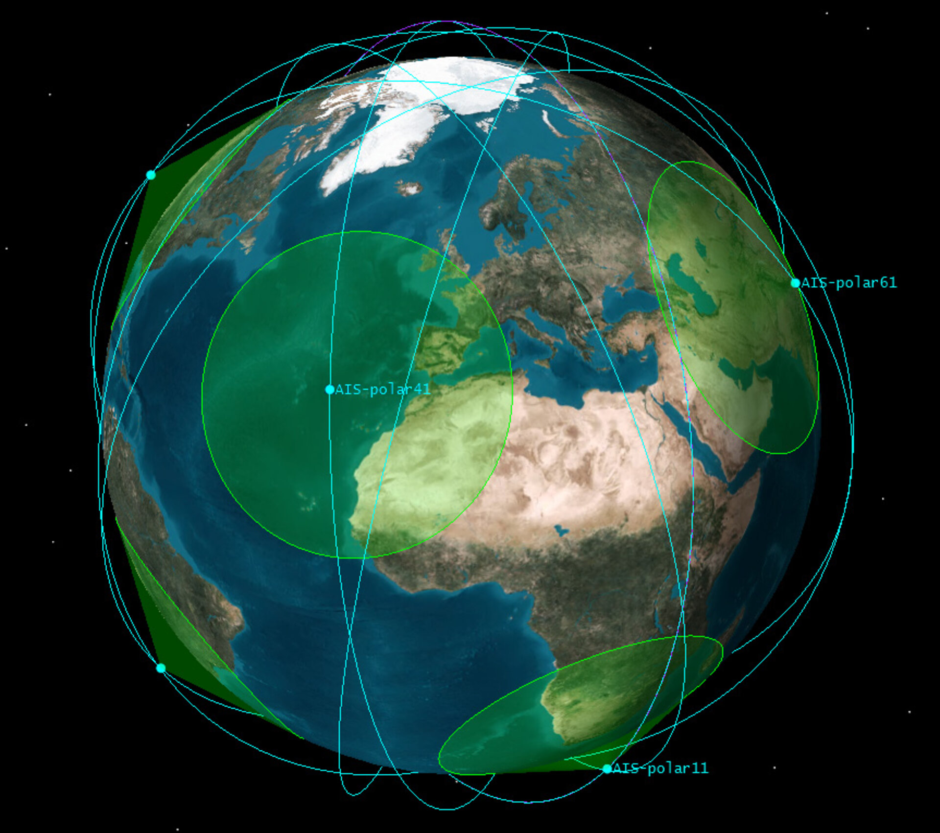
Optimising the orbit would be crucial to success: "600 km was the best compromise altitude. Go any higher and the rate of collisions would greatly increase while go lower and the satellite lifetime would be cut short by air drag."
The simulation found that detection rates were dependent on ship density: "We see 3000 ships at 93% confidence but up to 5000 and the rate goes down to 68% - you can already tell that a single satellite would not be good enough. Up to 8000 ships and the detection rate goes down to 41% - not even close. So we are looking at multiple overpasses to arrive at the performance needed."
The conclusion was that five microsatellites would be needed for global coverage of medium-scale traffic, increasing to a total of 10 for high densities. By comparison, a constellation employing standard receivers would require as many as 40 satellites.
Next steps
This year, AIS antennas and receivers are being flown up to the International Space Station for future mounting to the exterior hull of ESA's Columbus science module. This allows for exhaustive in-orbit testing.
A technology demonstrator for the initiative could be in orbit as soon as 2011, forming the first element of a full-scale system to follow within a year or two.
More information
Alberto.Ginesi @ esa.int